SMALL AREA MAPS (MICRO AREAS)
DIGITAL SMALL AREA MAPS (MICRO AREAS) AS THE BASIS FOR YOUR DATA
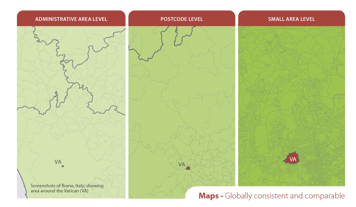
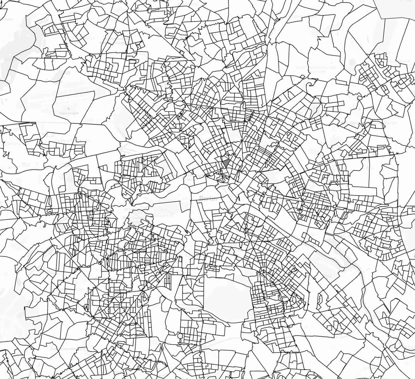
Small Area Maps could be subdivisions of the postcode or administrative boundaries like census areas. Digital Small Area boundaries help you to display and analyze spatial areas on a map. They can easily be matched and attributed with company internal data (e.g. sales figures, sales areas) or SOCIODEMOGRAPHIC DATA and PURCHASING POWER data from MB-International.
Because Postcode / ZIP-code boundaries are arbitrary geographic areas designed for the convenience of postal carriers, they do not always correspond to other more meaningful boundaries, such as those of cities or towns, school districts, neighborhoods or political voting districts.
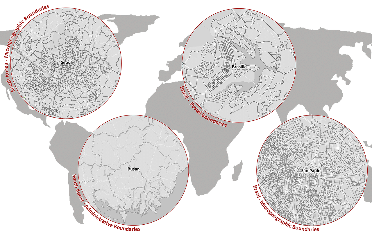
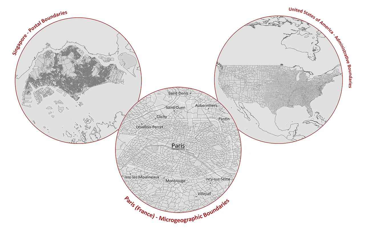
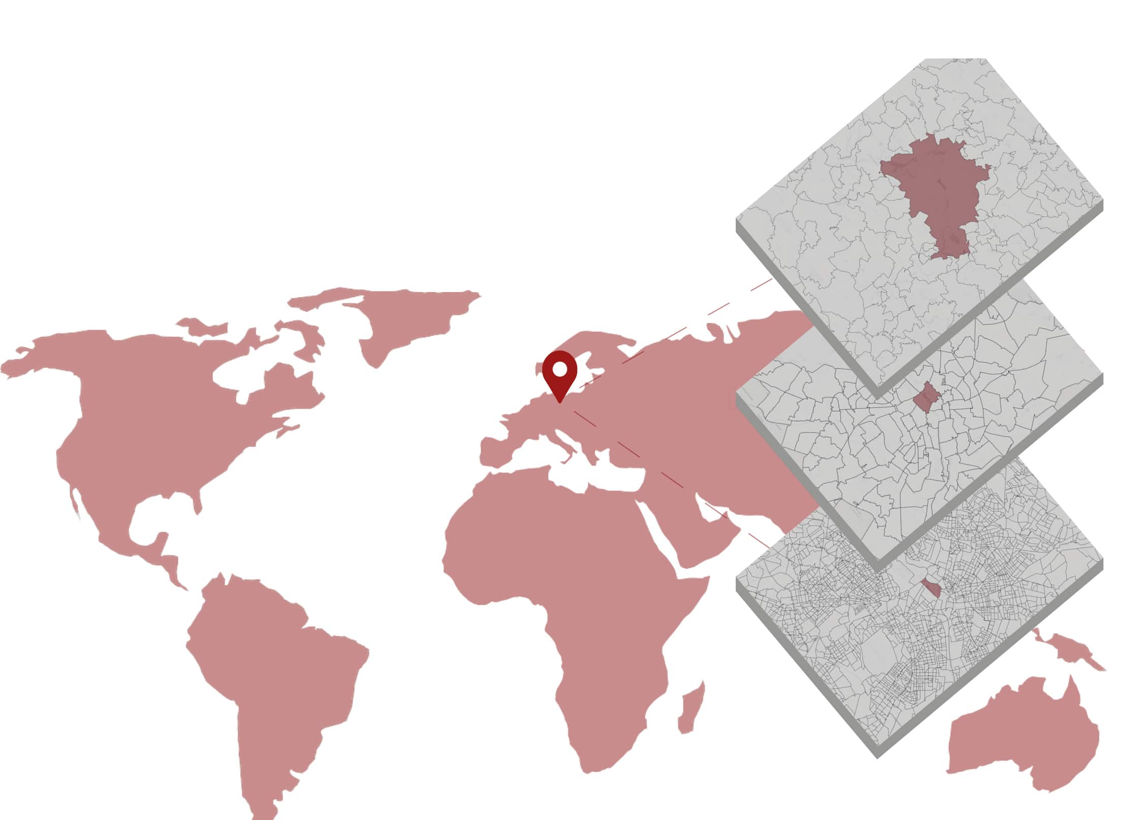
Therefore, we also offer what we call a small area dataset for many countries which are subdivisions of the postcode boundaries or administrative boundaries, e.g. census areas or street segments.
Example: In Spain are these the Census Sections (36.255 areas), a subdivision of the Municipios (8.125 areas).
VAST VARIETY OF USES IN MANY ASPECTS OF BUSINESS APPLICATIONS
Our area boundaries provide you with a consistent basis for visualizing your data for various tasks and applications, such as
- Sales planning
- Sales controlling
- Site planning
- Expansion planning
- Branch network planning
- Customer visualization
- Predictive analytics
- Insurance risk management
- Thematic mapping
- Social Media Marketing
- Internet applications
- Geocoding and Reverse Geocoding
KEY DIFFERENTIATORS

Globally consistent and comparable data

Strict quality control

Individual consulting and support

Continuous updating

100 % GDPR compliant
COUNTRY AVAILABILITY
Europe | North America | South America | Asia | Oceania | Africa
DATA FORMATS
Tab delimited file (TXT) | KML | Access database (MDB) | Excel (xls) | Esri Shapefile (.shp) | Esri Geodatabase (.gdb) | MapInfo (.tab) | MapInfo MIF/MID | more on request
> LEARN MORE
TELL US WHERE YOU ARE HEADING.
WE WILL GLADLY ASSIST YOU IN SELECTING THE DATA NEEDED TO REACH YOUR GOAL.
Didn’t find what you are looking for or have another question? Please do not hesitate to contact us!
Our experts will be happy to advise you individually and without obligation on which data you can use to create added value for your company and realize savings.
Would you like to evaluate and visualize the data?
