
MBI Streets
Structure
The modular structure of the Road Maps contains the following components, depending on the type of licensing:
- Digital Road Maps with exact House number coordinates
- Routing information, optimized for “RouteFinder” / MapInfo
- POI (Points of Interest)
- Address ranges for Geocoding
ADVANTAGES OF MBI Streets
READY-TO-USE
Derived from the HERE raw data, MBI develops the product MBI Streets, a workspace with processed, ready for immediate use and user-friendly handling road maps. You can immediately start with your planning and analysis tasks without investing time in compiling the comprehensive HERE raw data.
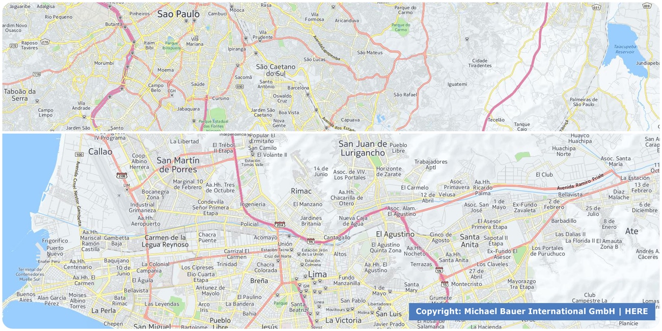
Difference between HERE MBI Road network and HERE Raw Data
- HERE MBI-Road Network is characterized by a user-friendly file and folder structure. Different layers such as roads, background information and Points of Interest are clearly differentiated
- The cartographic presentation of the HERE MBI-Road Network categorizes the roads with regard to line width and color, enabling a quick overview of the different road types
- An attractive appearance of background topographical information such as forests, waters, and industrial areas
- User-friendly listing of all necessary routing attributes, turning restrictions in categories, types, speeds etc.
- Because of the large volume of data, the original HERE raw data is divided in several files (f.ex. Germany in 6 files). In comparison, HERE MBI-Road Network has been aggregated to one file. This can be useful if processing only one road segment crossing more than one file
- Easily extensible with all HERE-data such as House coordinates, Points of Interest etc.
- MB-International provides a workspace with zoom levels in an attractive color design
Smart Combination
HERE MBI-Roads can be easily combined with our worldwide area boundaries as well as with sociodemographic and purchasing power data on different levels. We offer you a reliable basis for well-founded and data-based decisions. If desired, we can integrate the MBI data directly into our digital boundaries. So, you can load them directly into your system without any additional steps and use them immediately.
DATA FORMATS
Tab delimited file (TXT) | KML | Access database (MDB) | Excel (xls) | Esri Shapefile (.shp) | Esri Geodatabase (.gdb) | MapInfo (.tab, .tabx) | MapInfo MIF/MID | GeoJSON | GeoParquet (.parquet) | GeoPackage (.gpkg) | more on request
> LEARN MORE
UPDATES
The HERE street maps are updated quarterly. Derived from this, we develop the product MBI Streets which can be delivered on demand for all country in the HERE database to the currently released version.
TELL US WHERE YOU ARE HEADING.
WE WILL GLADLY ASSIST YOU IN SELECTING THE DATA NEEDED TO REACH YOUR GOAL.
Didn’t find what you are looking for or have another question? Please do not hesitate to contact us!
Our experts will be happy to advise you individually and without obligation on which data you can use to create added value for your company and realize savings.
Would you like to evaluate and visualize the data?