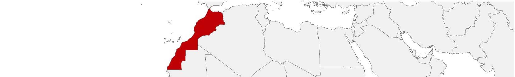
Morocco Purchasing Power, Socio-demographics & Area Boundaries

Your trusted Source of Geodata for Morocco for Postcode 5-digit, Communes and Provinces
Discover a comprehensive suite of geodata for Morocco from our extensive global data offering of sociodemographic and purchasing power data. Elevate your geomarketing, target group analyses, and location studies with our detailed insights. MBI provides accurate area boundaries (vector boundaries, polygons) with detailed, seamless coverage of the following areas: Postcode 5-digit, Communes and Provinces. Our data’s global consistency and comparability enable you to draw comparisons between Morocco and any other country worldwide. Additionally, political risk data allows you to develop targeted adaptation strategies to increase your location, logistics, and investment security.
Tailored for professionals in areas such as expansion planning, risk management, portfolio analysis, and statistical research, our data is accessible in all standard GIS formats and Excel. Licensed from MBI, this data ensures you have the robust information needed for strategic decision-making to drive your sales and business forward and maximize ROI.
Data that can currently be licensed from mbi for Morocco
Each attribute or geographical level can be licensed individually.
| Geographic level | |||
|---|---|---|---|
| Area level | Administrative | Administrative | Grid |
| Name | Communes | Provinces | 100 x 100 m |
| Number of areas | 1687 | 75 | |
| Geometry | |||
| Polygons | |||
| Data / Variables | |||
| Population | |||
| Age bands | |||
| Sex / Gender | |||
| Households | |||
| Purchasing power | |||
| Education (country-specific) | |||
| Marital status (country-specific) | |||
| Consumer Styles | |||
| Online-Shopping Affinity | |||
| Socio Bundle Plus | |||
| Political Risk | |||
| Get a quote | Get a quote | Get a quote | |
| Additional Political Risk Data by Regions | ||||
|---|---|---|---|---|
| Regions | SUSAFE Basic | Calculated Trends | Conflict Insights | |
| Self-Explaining Political Risk Data | 28 | |||
| Get a quote | Get a quote | Get a quote | Get a quote | |
Geodata for Morocco: Empowering Business with Rich Data Insights
Morocco, strategically positioned between the Atlantic Ocean and the Mediterranean Sea, is a gateway to West Africa and is closely linked with France. Its rich cultural heritage, diverse landscapes, and economic ambitions offer vast opportunities for businesses. The strategic use of detailed geodata is crucial for companies operating in Morocco, providing essential insights for geomarketing, GIS, expansion planning, spatial analysis, transportation planning, location intelligence analysis, and risk management.
Geographical Levels and Products
MBI’s geodata for Morocco is structured across two pivotal levels:
- Communes: This level provides an in-depth look at Morocco’s local governance units, offering data on Population, Purchasing Power, Socio Demographics, and Digital Boundaries. These insights are vital for hyper-localized business planning and development, enabling targeted strategies that address the nuanced needs of diverse communities across urban and rural landscapes.
- Provinces: Offering a broader view, this level features even more Socio Data.
Country-Specific Insights
In Morocco, where enhancing economic competitiveness and fostering market growth are central to business success, detailed geodata informs strategic decision-making across various sectors. Insights into commune and province-level demographics, economic capabilities, and consumer behavior support targeted initiatives in agriculture, tourism, textiles, automotive, and aeronautics industries. Here are specific use cases illustrating how businesses can benefit from MBI’s geodata:
Use Case
Market Analysis and Production Site Planning: A French automotive brand could conduct a market analysis using socio-economic data for Morocco from MBI. Once the size of the Moroccan market and the suitability of specific products for Moroccan consumers have been established, the company may wish to consider relocating the production of certain models to Morocco. It would be prudent to consider socio-economic factors such as education when selecting the location and personnel for the new production facility.
Advantages of our administrative Boundaries
- Worldwide, seamless coverage of postal and administrative boundaries
- The layers are topographically correct and country borders fit seamlessly together without overlaps and gaps
- Data and areas can be easily combined in one layer thanks to a unique key, enabling cross-country analysis
- Constant updates guarantee a current data status
- The vintage compatibility between the MBI boundaries and the MBI Sociodemographic and Purchasing Power data is guaranteed
- Simple update by uniform layout of the layer names
- The higher-level area hierarchies are included with the boundary files
- Digital boundaries are in a vector format to allow visualization in any zoom levels
Smart Combination
The territorial vintages of the worldwide area boundaries are compatible with our globally consistent and comparable socio-economic data. We offer you a reliable basis for well-founded and data-based decisions. If desired, we can integrate the MBI data directly into our digital boundaries. So, you can load them directly into your system without any additional steps and use them immediately.
COUNTRY AVAILABILITY
Europe | North America | South America | Asia | Oceania | Africa
DATA FORMATS
Tab delimited file (TXT) | KML | Access database (MDB) | Excel (xls) | Esri Shapefile (.shp) | Esri Geodatabase (.gdb) | MapInfo (.tab, .tabx) | MapInfo MIF/MID | GeoJSON | GeoParquet (.parquet) | GeoPackage (.gpkg) | more on request
> LEARN MORE
TELL US WHERE YOU ARE HEADING.
WE WILL GLADLY ASSIST YOU IN SELECTING THE DATA NEEDED TO REACH YOUR GOAL.
Didn’t find what you are looking for or have another question? Please do not hesitate to contact us!
Our experts will be happy to advise you individually and without obligation on which data you can use to create added value for your company and realize savings.
Would you like to evaluate and visualize the data?