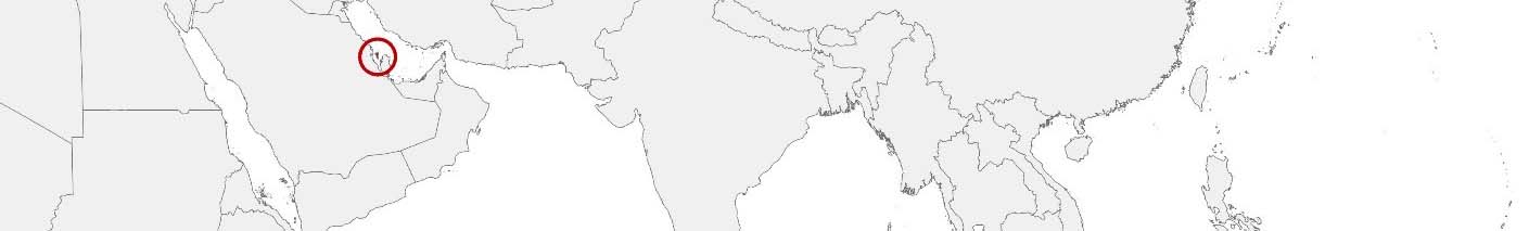
Bahrain Purchasing Power, Socio-demographics & Area Boundaries

Your trusted Source of Geodata for Bahrain for Postcode 4-digit, Constituencies, Muḥāfaẓāt and Blocks
Discover a comprehensive suite of geodata for Bahrain from our extensive global data offering of sociodemographic and purchasing power data. Elevate your geomarketing, target group analyses, and location studies with our detailed insights. MBI provides accurate area boundaries (vector boundaries, polygons) with detailed, seamless coverage of the following areas: Postcode 4-digit, Constituencies, Muḥāfaẓāt and Blocks. Our data’s global consistency and comparability enable you to draw comparisons between Bahrain and any other country worldwide. Additionally, political risk data allows you to develop targeted adaptation strategies to increase your location, logistics, and investment security.
Tailored for professionals in areas such as expansion planning, risk management, portfolio analysis, and statistical research, our data is accessible in all standard GIS formats and Excel. Licensed from MBI, this data ensures you have the robust information needed for strategic decision-making to drive your sales and business forward and maximize ROI.
Data that can currently be licensed from mbi for Bahrain
Each attribute or geographical level can be licensed individually.
| Geographic level | ||
|---|---|---|
| Area level | Administrative | Grid |
| Name | Muḥāfaẓāt | 100 x 100 m |
| Number of areas | 4 | |
| Geometry | ||
| Polygons | ||
| Data / Variables | ||
| Population | ||
| Age bands | ||
| Sex / Gender | ||
| Households | ||
| Unemployed | ||
| Purchasing power | ||
| Consumer Spending by Product Groups | ||
| Households by Type (country-specific) | ||
| Marital status (country-specific) | ||
| Daytime Population | ||
| Socio Bundle Plus | ||
| Political Risk | ||
| Get a quote | Get a quote | |
| Additional Political Risk Data by Regions | ||||
|---|---|---|---|---|
| Regions | SUSAFE Basic | Calculated Trends | Conflict Insights | |
| Self-Explaining Political Risk Data | 4 | |||
| Get a quote | Get a quote | Get a quote | Get a quote | |
Bahrain’s Geodata Insights: Fueling Strategic Decisions in the Gulf
Bahrain, an island country in the Persian Gulf, is distinguished by its strategic economic significance, advanced digital infrastructure, and diverse cultural heritage. As a financial center in the Middle East, Bahrain stands to gain from the use of accurate and comprehensive geospatial data in the development and planning of its governorates. MBI’s offerings provide pivotal insights for professionals in geomarketing, GIS, expansion planning, spatial analysis, transportation planning, location intelligence analysis, and risk management.
Geographical Levels and Products
Focusing on Bahrain’s governorates, MBI’s geodata includes:
- Population and Daytime Population Data: Essential for demographic analysis and planning in areas ranging from urban development to healthcare services.
- Consumer Styles and Socio-Demographics: Insights into the preferences and lifestyles of Bahrain’s residents, supporting targeted marketing and business strategies.
- Online-Shopping-Affinity: Data reflecting e-commerce trends, crucial for optimizing online retail and service offerings.
- Purchasing Power: Information on the economic capabilities of different regions, guiding investment and retail development.
Country-Specific Insights
Bahrain’s economic strategy, aimed at diversification and technological innovation, as well as many businesses can benefit from geodata to identify growth areas and optimize resource allocation. Understanding the nuanced consumer behaviors and economic strengths of each governorate allows for tailored approaches to marketing and development, enhancing Bahrain’s position as a regional leader in finance, tourism, and digital innovation.
Use Cases
A potential use of MBI’s geodata for Bahrain is in the expansion of digital banking services. By analyzing consumer styles and online-shopping-affinity data, leading banks could develop personalized digital products that resonated with diverse customer segments. Another case is the government’s smart city initiatives, where digital boundaries and population data could be used to plan infrastructure and services that align with residents’ needs and preferences, promoting sustainability and quality of life.
Why Use Geodata from MBI for Bahrain
MBI’s geodata offerings for Bahrain are invaluable for navigating the complexities of regional and economic planning in the Gulf. By providing detailed insights into demographic, consumer, and economic patterns, these data products empower stakeholders to make informed decisions, driving innovation and strategic development in Bahrain.
Advantages of our administrative Boundaries
- Worldwide, seamless coverage of postal and administrative boundaries
- The layers are topographically correct and country borders fit seamlessly together without overlaps and gaps
- Data and areas can be easily combined in one layer thanks to a unique key, enabling cross-country analysis
- Constant updates guarantee a current data status
- The vintage compatibility between the MBI boundaries and the MBI Sociodemographic and Purchasing Power data is guaranteed
- Simple update by uniform layout of the layer names
- The higher-level area hierarchies are included with the boundary files
- Digital boundaries are in a vector format to allow visualization in any zoom levels
Smart Combination
The territorial vintages of the worldwide area boundaries are compatible with our globally consistent and comparable socio-economic data. We offer you a reliable basis for well-founded and data-based decisions. If desired, we can integrate the MBI data directly into our digital boundaries. So, you can load them directly into your system without any additional steps and use them immediately.
COUNTRY AVAILABILITY
Europe | North America | South America | Asia | Oceania | Africa
DATA FORMATS
Tab delimited file (TXT) | KML | Access database (MDB) | Excel (xls) | Esri Shapefile (.shp) | Esri Geodatabase (.gdb) | MapInfo (.tab, .tabx) | MapInfo MIF/MID | GeoJSON | GeoParquet (.parquet) | GeoPackage (.gpkg) | more on request
> LEARN MORE
TELL US WHERE YOU ARE HEADING.
WE WILL GLADLY ASSIST YOU IN SELECTING THE DATA NEEDED TO REACH YOUR GOAL.
Didn’t find what you are looking for or have another question? Please do not hesitate to contact us!
Our experts will be happy to advise you individually and without obligation on which data you can use to create added value for your company and realize savings.
Would you like to evaluate and visualize the data?