Montserrat Purchasing Power, Socio-demographics & Area Boundaries

Your trusted Source of Geodata for Montserrat for Postcode 4-digit, Parishes and Regions
Discover a comprehensive suite of geodata for Montserrat from our extensive global data offering of sociodemographic and purchasing power data. Elevate your geomarketing, target group analyses, and location studies with our detailed insights. MBI provides accurate area boundaries (vector boundaries, polygons) with detailed, seamless coverage of the following areas: Postcode 4-digit, Parishes and Regions. Our data’s global consistency and comparability enable you to draw comparisons between Montserrat and any other country worldwide. Additionally, political risk data allows you to develop targeted adaptation strategies to increase your location, logistics, and investment security.
Tailored for professionals in areas such as expansion planning, risk management, portfolio analysis, and statistical research, our data is accessible in all standard GIS formats and Excel. Licensed from MBI, this data ensures you have the robust information needed for strategic decision-making to drive your sales and business forward and maximize ROI.
Data that can currently be licensed from mbi for Montserrat
Each attribute or geographical level can be licensed individually.
| Geographic level | ||
|---|---|---|
| Area level | Administrative | Grid |
| Name | Regions | 100 x 100 m |
| Number of areas | 5 | |
| Geometry | ||
| Polygons | ||
| Data / Variables | ||
| Population | ||
| Sex / Gender | ||
| Households | ||
| Marital status (country-specific) | ||
| Daytime Population | ||
| Political Risk | ||
| Get a quote | Get a quote | |
| Additional Political Risk Data by Regions | ||||
|---|---|---|---|---|
| Regions | SUSAFE Basic | Calculated Trends | Conflict Insights | |
| Self-Explaining Political Risk Data | 1 | |||
| Get a quote | Get a quote | Get a quote | Get a quote | |
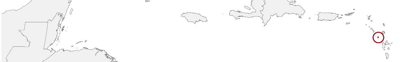
Geodata for Montserrat: Navigating Recovery and Resilience
Montserrat, a British Overseas Territory in the Caribbean, known for its lush green mountains and as the site of the Soufrière Hills volcano eruption in the late 20th century, is on a path of recovery and sustainable development. The island’s challenges of rebuilding and fostering economic growth amidst the backdrop of natural disaster resilience underscore the critical role of geodata.
Geographical Levels and Products
For Montserrat, MBI’s geodata is structured at the “Parishes” level. This organization enables targeted analysis and strategic planning, essential for the island’s recovery and development initiatives. The available products include:
- Population and Daytime Population: Crucial for demographic analysis, these data aid in planning for public services, healthcare, education, and infrastructure needs across the parishes, ensuring resources are directed where they are most needed.
- Digital Boundaries: Vital for precise mapping and spatial analysis.
Use Case
Disaster Resilience and Infrastructure Recovery: Utilizing digital boundaries, population data, and their own data Montserrat developed and implemented infrastructure projects aimed at enhancing resilience to volcanic activity and other natural disasters, ensuring the continuity of essential services and the safety of its communities.
Why Use Geodata from MBI for Montserrat
MBI’s geodata for Montserrat provides reliable and invaluable insights into the territory’s demographic and spatial dynamics, enabling stakeholders to effectively address its unique challenges and opportunities.
Advantages of our administrative Boundaries
- Worldwide, seamless coverage of postal and administrative boundaries
- The layers are topographically correct and country borders fit seamlessly together without overlaps and gaps
- Data and areas can be easily combined in one layer thanks to a unique key, enabling cross-country analysis
- Constant updates guarantee a current data status
- The vintage compatibility between the MBI boundaries and the MBI Sociodemographic and Purchasing Power data is guaranteed
- Simple update by uniform layout of the layer names
- The higher-level area hierarchies are included with the boundary files
- Digital boundaries are in a vector format to allow visualization in any zoom levels
Smart Combination
The territorial vintages of the worldwide area boundaries are compatible with our globally consistent and comparable socio-economic data. We offer you a reliable basis for well-founded and data-based decisions. If desired, we can integrate the MBI data directly into our digital boundaries. So, you can load them directly into your system without any additional steps and use them immediately.
COUNTRY AVAILABILITY
Europe | North America | South America | Asia | Oceania | Africa
DATA FORMATS
Tab delimited file (TXT) | KML | Access database (MDB) | Excel (xls) | Esri Shapefile (.shp) | Esri Geodatabase (.gdb) | MapInfo (.tab, .tabx) | MapInfo MIF/MID | GeoJSON | GeoParquet (.parquet) | GeoPackage (.gpkg) | more on request
> LEARN MORE
TELL US WHERE YOU ARE HEADING.
WE WILL GLADLY ASSIST YOU IN SELECTING THE DATA NEEDED TO REACH YOUR GOAL.
Didn’t find what you are looking for or have another question? Please do not hesitate to contact us!
Our experts will be happy to advise you individually and without obligation on which data you can use to create added value for your company and realize savings.
Would you like to evaluate and visualize the data?