
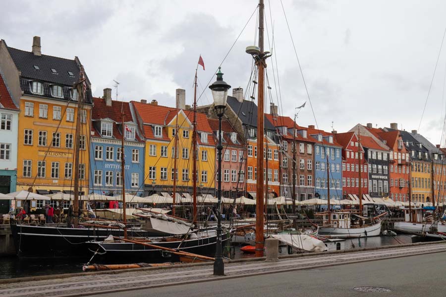
Denmark Purchasing Power, Socio-demographics & Area Boundaries
Your trusted Source of Geodata for Denmark for Postcode 4-digit, Kommuner, Sogne and 100 Meter Grid
Discover a comprehensive suite of geodata for Denmark from our extensive global data offering of sociodemographic and purchasing power data. Elevate your geomarketing, target group analyses, and location studies with our detailed insights. MBI provides accurate area boundaries (vector boundaries, polygons) with detailed, seamless coverage of the following areas: Postcode 4-digit, Kommuner, Sogne and 100 Meter Grid. Our data’s global consistency and comparability enable you to draw comparisons between Denmark and any other country worldwide. Additionally, political risk data allows you to develop targeted adaptation strategies to increase your location, logistics, and investment security.
Tailored for professionals in areas such as expansion planning, risk management, portfolio analysis, and statistical research, our data is accessible in all standard GIS formats and Excel. Licensed from MBI, this data ensures you have the robust information needed for strategic decision-making to drive your sales and business forward and maximize ROI.
Data that can currently be licensed from mbi for Denmark
Each attribute or geographical level can be licensed individually.
| Geographic level | ||||
|---|---|---|---|---|
| Area level | Post Code / ZIP Code | Administrative | Micro | Grid |
| Name | Postcode 4-digit | Kommuner | Sogne | 100 Meter Grid |
| Number of areas | 1090 | 99 | 2124 | |
| Geometry | ||||
| Polygons | ||||
| Data / Variables | ||||
| Population | ||||
| Age bands | ||||
| Sex / Gender | ||||
| Households | ||||
| Unemployed | ||||
| Purchasing power | ||||
| Retail Spending | ||||
| Retail Turnover | ||||
| Retail Centrality | ||||
| Consumer Spending by Product Groups | ||||
| Households by Income Quintiles | ||||
| Education (country-specific) | ||||
| Households by Type (country-specific) | ||||
| Marital status (country-specific) | ||||
| Consumer Styles | ||||
| Daytime Population | ||||
| Online-Shopping Affinity | ||||
| Socio Bundle Plus | ||||
| Get a quote | Get a quote | Get a quote | Get a quote | |
| Political Risk Data | ||||
|---|---|---|---|---|
| Regions | SUSAFE Basic | Calculated Trends | Conflict Insights | |
| Self-Explaining Political Risk Data | 5 | |||
| Get a quote | Get a quote | Get a quote | Get a quote | |
Denmark’s Geodata Insights: Advancing Innovation and Sustainability
Denmark is known for its high quality of life, environmental consciousness, and technological innovation. The country’s well-developed infrastructure and digital readiness make it a fertile ground for leveraging spatial data for business insights and strategic planning. MBI’s geodata offerings for Denmark provide an extensive resource for companies looking to optimize their operations, marketing efforts, and expansion strategies in this Nordic nation.
Geographical Levels and Products
In Denmark, MBI’s geodata includes:
- Kommuner (Admin Level): Provides essential data, applicable across various sectors, from retail to urban planning.
- Post Code 4-digit (Postal Level): Detailed data for a vast number of postal areas ensures no region is overlooked. Facilitates targeted marketing strategies and efficient logistics planning, crucial for business operations and service distribution across Denmark’s compact yet diverse landscape.
- Grid: Population Data for 100 by 100 meter squares all over Denmark
Country-Specific Insights
Denmark’s strong purchasing power means there are significant opportunities for premium and high-end products. Denmark is a leader in sustainability and green technology. Businesses in the renewable energy sector can leverage MBI’s geodata to identify optimal locations for new projects, considering factors like population density and local economic conditions. Denmark’s population is highly digitally literate, making online marketing campaigns particularly effective. Companies can use MBI’s online-shopping-affinity data to target regions with higher online shopping activity, optimizing their e-commerce strategies and digital marketing efforts.
Use Case
A vegan restaurant chain employs household and consumer style data to develop its expansion strategy in Denmark. Identifying cities with a high daytime population, strong purchasing power and socio-demographic characteristic similar to their existing customer base helps them prioritize their expansion plans.
Why Use Geodata from MBI for Denmark
In conclusion, MBI’s comprehensive geodata offerings provide invaluable resources for businesses and organizations operating in Denmark. From detailed demographic insights to economic indicators and consumer behavior data, MBI equips decision-makers with the tools they need to navigate Denmark’s complex and dynamic market landscape effectively. Whether for market analysis, strategic planning, or operational optimization, MBI’s geodata is the key to unlocking new opportunities and achieving sustained growth in Denmark.
Advantages of our administrative Boundaries
- Worldwide, seamless coverage of postal and administrative boundaries
- The layers are topographically correct and country borders fit seamlessly together without overlaps and gaps
- Data and areas can be easily combined in one layer thanks to a unique key, enabling cross-country analysis
- Constant updates guarantee a current data status
- The vintage compatibility between the MBI boundaries and the MBI Sociodemographic and Purchasing Power data is guaranteed
- Simple update by uniform layout of the layer names
- The higher-level area hierarchies are included with the boundary files
- Digital boundaries are in a vector format to allow visualization in any zoom levels
Smart Combination
The territorial vintages of the worldwide area boundaries are compatible with our globally consistent and comparable socio-economic data. We offer you a reliable basis for well-founded and data-based decisions. If desired, we can integrate the MBI data directly into our digital boundaries. So, you can load them directly into your system without any additional steps and use them immediately.
COUNTRY AVAILABILITY
Europe | North America | South America | Asia | Oceania | Africa
DATA FORMATS
Tab delimited file (TXT) | KML | Access database (MDB) | Excel (xls) | Esri Shapefile (.shp) | Esri Geodatabase (.gdb) | MapInfo (.tab, .tabx) | MapInfo MIF/MID | GeoJSON | GeoParquet (.parquet) | GeoPackage (.gpkg) | more on request
> LEARN MORE
TELL US WHERE YOU ARE HEADING.
WE WILL GLADLY ASSIST YOU IN SELECTING THE DATA NEEDED TO REACH YOUR GOAL.
Didn’t find what you are looking for or have another question? Please do not hesitate to contact us!
Our experts will be happy to advise you individually and without obligation on which data you can use to create added value for your company and realize savings.
Would you like to evaluate and visualize the data?