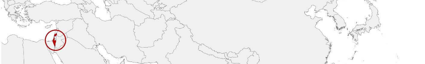
Israel Purchasing Power, Socio-demographics & Area Boundaries

Your trusted Source of Geodata for Israel for Postcode 5-digit and Mo’atzah Mekomit
Discover a comprehensive suite of geodata for Israel from our extensive global data offering of sociodemographic and purchasing power data. Elevate your geomarketing, target group analyses, and location studies with our detailed insights. MBI provides accurate area boundaries (vector boundaries, polygons) with detailed, seamless coverage of the following areas: Postcode 5-digit and Mo’atzah Mekomit. Our data’s global consistency and comparability enable you to draw comparisons between Israel and any other country worldwide. Additionally, political risk data allows you to develop targeted adaptation strategies to increase your location, logistics, and investment security.
Tailored for professionals in areas such as expansion planning, risk management, portfolio analysis, and statistical research, our data is accessible in all standard GIS formats and Excel. Licensed from MBI, this data ensures you have the robust information needed for strategic decision-making to drive your sales and business forward and maximize ROI.
Data that can currently be licensed from mbi for Israel
Each attribute or geographical level can be licensed individually.
| Geographic level | ||
|---|---|---|
| Area level | Administrative | Grid |
| Name | Mo'atzah Mekomit | 100 x 100 m |
| Number of areas | 238 | |
| Geometry | ||
| Polygons | ||
| Data / Variables | ||
| Population | ||
| Purchasing power | ||
| Consumer Spending by Product Groups | ||
| Daytime Population | ||
| Political Risk | ||
| Get a quote | Get a quote | |
| Additional Political Risk Data by Regions | ||||
|---|---|---|---|---|
| Regions | SUSAFE Basic | Calculated Trends | Conflict Insights | |
| Self-Explaining Political Risk Data | 6 | |||
| Get a quote | Get a quote | Get a quote | Get a quote | |
Geodata for Israel: Enhancing Insights for a High-Tech Nation
Israel, renowned for its technological innovation and dynamic economy, presents unique challenges and opportunities for businesses. The country’s unique blend of urban centers, high-tech hubs, and diverse population, demands precise and comprehensive geodata. MBI’s offerings for Israel are tailored to meet these needs, providing essential insights for geomarketing, GIS, expansion planning, spatial analysis, transportation planning, location intelligence analysis, and risk management.
Geographical Levels and Products
MBI’s geodata for Israel is concentrated at the “Mo’atzah Mekomit” (Local Councils) level. This level allows for an in-depth understanding of Israel’s municipalities and their specific challenges and opportunities. The available products include:
- Population: Essential for understanding residential patterns and planning local services. Provides insights into population dynamics during business hours.
- Purchasing Power: Offers insights into the economic capabilities, crucial for market potential analysis.Consumer Spending by Product Groups: Detailed expenditure data by product categories, invaluable for market analysis.
- Socio Demographics: Provides a comprehensive view of the population’s characteristics, supporting targeted development initiatives and policymaking.
- Digital Boundaries: Accurate digital boundaries for spatial analysis and mapping.
These products are designed to meet the varied needs of stakeholders in Israel, enabling informed decisions that support the country’s sustainable development and community well-being.
Country-Specific Insights
Israel’s economic landscape, characterized by its strong technology sector and high standard of living, benefits greatly from MBI’s geodata. For example, understanding consumer spending patterns in major cities like Tel Aviv and Jerusalem versus smaller towns can significantly enhance market segmentation and product placement strategies.
In the high-tech sector, which is a significant contributor to Israel’s GDP, MBI’s detailed demographic data helps companies identify potential markets for new tech products, understanding regional preferences and household income levels.
The data on Purchasing Power is particularly relevant in Israel’s diverse economy. Businesses can tailor their marketing campaigns based on regional income levels and spending behaviors, ensuring higher engagement and conversion rates.
Use Case
A telecommunications provider might leverage MBI’s data on Nighttime Population and Daytime Population, as well as Purchasing Power, to enhance its network expansion plans. By understanding where high concentrations of potential customers live and worked, and their economic capabilities, the company optimized its infrastructure investment, resulting in better service coverage and customer experience.
Why Use Geodata from MBI for Israel
MBI’s geodata for Israel stands out due to its comprehensive coverage and high level of detail. The inclusion of both daytime and nighttime population data provides a complete picture of population dynamics, crucial for businesses operating in retail, transportation, and urban planning. Moreover, the integration of digital boundaries ensures that businesses can leverage GIS technologies effectively for spatial analysis. This feature is particularly beneficial for logistics companies optimizing delivery routes and retail businesses planning new store locations.
Advantages of our administrative Boundaries
- Worldwide, seamless coverage of postal and administrative boundaries
- The layers are topographically correct and country borders fit seamlessly together without overlaps and gaps
- Data and areas can be easily combined in one layer thanks to a unique key, enabling cross-country analysis
- Constant updates guarantee a current data status
- The vintage compatibility between the MBI boundaries and the MBI Sociodemographic and Purchasing Power data is guaranteed
- Simple update by uniform layout of the layer names
- The higher-level area hierarchies are included with the boundary files
- Digital boundaries are in a vector format to allow visualization in any zoom levels
Smart Combination
The territorial vintages of the worldwide area boundaries are compatible with our globally consistent and comparable socio-economic data. We offer you a reliable basis for well-founded and data-based decisions. If desired, we can integrate the MBI data directly into our digital boundaries. So, you can load them directly into your system without any additional steps and use them immediately.
COUNTRY AVAILABILITY
Europe | North America | South America | Asia | Oceania | Africa
DATA FORMATS
Tab delimited file (TXT) | KML | Access database (MDB) | Excel (xls) | Esri Shapefile (.shp) | Esri Geodatabase (.gdb) | MapInfo (.tab, .tabx) | MapInfo MIF/MID | GeoJSON | GeoParquet (.parquet) | GeoPackage (.gpkg) | more on request
> LEARN MORE
TELL US WHERE YOU ARE HEADING.
WE WILL GLADLY ASSIST YOU IN SELECTING THE DATA NEEDED TO REACH YOUR GOAL.
Didn’t find what you are looking for or have another question? Please do not hesitate to contact us!
Our experts will be happy to advise you individually and without obligation on which data you can use to create added value for your company and realize savings.
Would you like to evaluate and visualize the data?