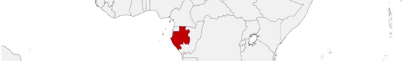
Gabon Purchasing Power, Socio-demographics & Area Boundaries

Your trusted Source of Geodata for Gabon for Provinces
Discover a comprehensive suite of geodata for Gabon from our extensive global data offering of sociodemographic and purchasing power data. Elevate your geomarketing, target group analyses, and location studies with our detailed insights. MBI provides accurate area boundaries (vector boundaries, polygons) with detailed, seamless coverage of the following areas: Provinces. Our data’s global consistency and comparability enable you to draw comparisons between Gabon and any other country worldwide. Additionally, political risk data allows you to develop targeted adaptation strategies to increase your location, logistics, and investment security.
Tailored for professionals in areas such as expansion planning, risk management, portfolio analysis, and statistical research, our data is accessible in all standard GIS formats and Excel. Licensed from MBI, this data ensures you have the robust information needed for strategic decision-making to drive your sales and business forward and maximize ROI.
Data that can currently be licensed from mbi for Gabon
Each attribute or geographical level can be licensed individually.
| Geographic level | ||
|---|---|---|
| Area level | Administrative | Grid |
| Name | Provinces | 100 x 100 m |
| Number of areas | 9 | |
| Geometry | ||
| Polygons | ||
| Data / Variables | ||
| Population | ||
| Political Risk | ||
| Get a quote | Get a quote | |
| Additional Political Risk Data by Regions | ||||
|---|---|---|---|---|
| Regions | SUSAFE Basic | Calculated Trends | Conflict Insights | |
| Self-Explaining Political Risk Data | 9 | |||
| Get a quote | Get a quote | Get a quote | Get a quote | |
Geodata for Gabon: Navigating Development in the Heart of Africa
Gabon, with its rich biodiversity, vast rainforests, and strategic economic position in Central Africa, stands at a crossroads of conservation and development. Gabon’s economy, driven by oil, mining, and timber, alongside a growing focus on tourism and sustainable agriculture, stands to benefit from the strategic application of geodata. For example, population data assists in targeting healthcare and educational services, while digital boundaries are invaluable for planning protected areas, optimizing resource extraction sites, and developing sustainable tourism infrastructure. Additionally, Gabon’s pioneering efforts in environmental conservation, such as its network of protected areas, are supported by detailed spatial analysis.
Geographical Levels and Products
For Gabon, MBI’s geodata is organized at the “Provinces” level. This level of detail enables a broad understanding of Gabon’s geographic and demographic diversity. The available products include:
- Population Data: Crucial for demographic studies, supporting public health initiatives, education planning, and infrastructure development.
- Digital Boundaries: Key for accurate mapping and spatial analysis, crucial for environmental conservation efforts, urban planning, and the strategic development of infrastructure.
These products are tailored to support the diverse needs of stakeholders, enabling informed decision-making that balances economic development with environmental stewardship.
Use Case
Sustainable Resource Management: A multinational corporation used digital boundaries and population data to plan sustainable logging operations, minimizing environmental impact while supporting local communities.
Why Use Geodata from MBI for Gabon
Whether for managing natural resources, planning infrastructure, or developing the tourism sector, MBI’s geodata is an indispensable resource for Gabon.
Advantages of our administrative Boundaries
- Worldwide, seamless coverage of postal and administrative boundaries
- The layers are topographically correct and country borders fit seamlessly together without overlaps and gaps
- Data and areas can be easily combined in one layer thanks to a unique key, enabling cross-country analysis
- Constant updates guarantee a current data status
- The vintage compatibility between the MBI boundaries and the MBI Sociodemographic and Purchasing Power data is guaranteed
- Simple update by uniform layout of the layer names
- The higher-level area hierarchies are included with the boundary files
- Digital boundaries are in a vector format to allow visualization in any zoom levels
Smart Combination
The territorial vintages of the worldwide area boundaries are compatible with our globally consistent and comparable socio-economic data. We offer you a reliable basis for well-founded and data-based decisions. If desired, we can integrate the MBI data directly into our digital boundaries. So, you can load them directly into your system without any additional steps and use them immediately.
COUNTRY AVAILABILITY
Europe | North America | South America | Asia | Oceania | Africa
DATA FORMATS
Tab delimited file (TXT) | KML | Access database (MDB) | Excel (xls) | Esri Shapefile (.shp) | Esri Geodatabase (.gdb) | MapInfo (.tab, .tabx) | MapInfo MIF/MID | GeoJSON | GeoParquet (.parquet) | GeoPackage (.gpkg) | more on request
> LEARN MORE
TELL US WHERE YOU ARE HEADING.
WE WILL GLADLY ASSIST YOU IN SELECTING THE DATA NEEDED TO REACH YOUR GOAL.
Didn’t find what you are looking for or have another question? Please do not hesitate to contact us!
Our experts will be happy to advise you individually and without obligation on which data you can use to create added value for your company and realize savings.
Would you like to evaluate and visualize the data?