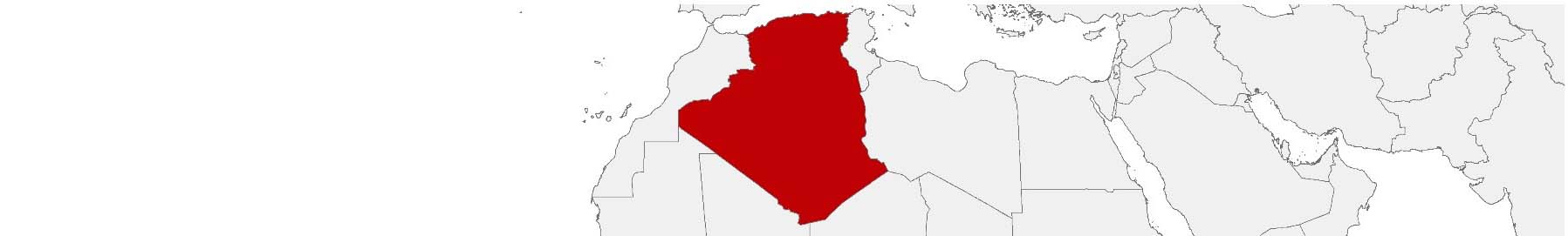
Algeria Purchasing Power, Socio-demographics & Area Boundaries

Your trusted Source of Geodata for Algeria for Postcode 5-digit, Communes and Wilāyāt
Discover a comprehensive suite of geodata for Algeria from our extensive global data offering of sociodemographic and purchasing power data. Elevate your geomarketing, target group analyses, and location studies with our detailed insights. MBI provides accurate area boundaries (vector boundaries, polygons) with detailed, seamless coverage of the following areas: Postcode 5-digit, Communes and Wilāyāt. Our data’s global consistency and comparability enable you to draw comparisons between Algeria and any other country worldwide. Additionally, political risk data allows you to develop targeted adaptation strategies to increase your location, logistics, and investment security.
Tailored for professionals in areas such as expansion planning, risk management, portfolio analysis, and statistical research, our data is accessible in all standard GIS formats and Excel. Licensed from MBI, this data ensures you have the robust information needed for strategic decision-making to drive your sales and business forward and maximize ROI.
Data that can currently be licensed from mbi for Algeria
Each attribute or geographical level can be licensed individually.
| Geographic level | ||
|---|---|---|
| Area level | Administrative | Grid |
| Name | Wilāyāt | 100 x 100 m |
| Number of areas | 58 | |
| Geometry | ||
| Polygons | ||
| Data / Variables | ||
| Population | ||
| Age bands | ||
| Sex / Gender | ||
| Households | ||
| Purchasing power | ||
| Education (country-specific) | ||
| Marital status (country-specific) | ||
| Consumer Styles | ||
| Online-Shopping Affinity | ||
| Socio Bundle Plus | ||
| Political Risk | ||
| Get a quote | Get a quote | |
| Additional Political Risk Data by Regions | ||||
|---|---|---|---|---|
| Regions | SUSAFE Basic | Calculated Trends | Conflict Insights | |
| Self-Explaining Political Risk Data | 66 | |||
| Get a quote | Get a quote | Get a quote | Get a quote | |
Algeria’s Geodata Landscape: Unveiling Opportunities for Diverse Applications
Nestled in the heart of North Africa, Algeria stands as a land of diverse landscapes and rich cultural heritage. From the sweeping dunes of the Sahara to the vibrant streets of Algiers, the country’s landscape is as diverse as its economic opportunities. For professionals in geomarketing, GIS, expansion planning, spatial analysis, transportation planning, location intelligence analysis, and risk management, understanding Algeria’s unique geodata landscape is pivotal.
Geographical Levels and Products
Algeria is segmented into geographical levels known as Wilāyāt (provinces), each with its unique demographic and economic profile. MBI’s geodata offerings for Algeria provide an invaluable resource for decision-making and strategic planning. The available products for these areas include:
- Population Data: Essential for demographic analysis, market penetration strategies, and planning public services.
- Consumer Styles: Offers insights into consumer behavior, preferences, and lifestyle choices, crucial for targeted marketing campaigns.
- Online-Shopping-Affinity: A unique dataset that sheds light on the online shopping preferences within each Wilāyāt, vital for e-commerce strategies.
- Purchasing Power: Crucial for identifying consumer spending capabilities across different regions, aiding in retail and service location planning.
- Socio-Demographics: Provides a comprehensive view of the population’s socio-economic status, including age, employment, and more, tailored for nuanced market segmentation and policy development.
Country-Specific Insights
In Algeria, the stark contrast between urban and rural regions presents a unique challenge and opportunity for data-driven decision-making. For instance, the densely populated Wilāyāt of Algiers contrasts sharply with the sparsely populated Saharan regions. This variation necessitates tailored approaches in expansion planning and resource allocation, making MBI’s granular geodata an indispensable basis. The detailed consumer style and purchasing power data further allow businesses to customize their offerings for each province, tapping into local preferences and economic conditions.
Use Case
A possible application of MBI’s geodata in Algeria is in the expansion strategy of a leading retail chain. By leveraging population and purchasing power data, the company might identify underserved regions with high market potential, leading to strategic store placements that maximize customer reach and profitability.
Why Use Geodata from MBI for Algeria
MBI’s geodata offerings for Algeria provide a rich tapestry of information, unlocking diverse opportunities for professionals across various fields. From geomarketing to risk management, the depth and breadth of data available empower stakeholders to make informed decisions, tailored to the unique contours of Algeria’s geographical and economic landscape. With MBI’s geodata, the potential for innovation and strategic development in Algeria is promising, paving the way for success in one of Africa’s largest and most dynamic markets.
Advantages of our administrative Boundaries
- Worldwide, seamless coverage of postal and administrative boundaries
- The layers are topographically correct and country borders fit seamlessly together without overlaps and gaps
- Data and areas can be easily combined in one layer thanks to a unique key, enabling cross-country analysis
- Constant updates guarantee a current data status
- The vintage compatibility between the MBI boundaries and the MBI Sociodemographic and Purchasing Power data is guaranteed
- Simple update by uniform layout of the layer names
- The higher-level area hierarchies are included with the boundary files
- Digital boundaries are in a vector format to allow visualization in any zoom levels
Smart Combination
The territorial vintages of the worldwide area boundaries are compatible with our globally consistent and comparable socio-economic data. We offer you a reliable basis for well-founded and data-based decisions. If desired, we can integrate the MBI data directly into our digital boundaries. So, you can load them directly into your system without any additional steps and use them immediately.
COUNTRY AVAILABILITY
Europe | North America | South America | Asia | Oceania | Africa
DATA FORMATS
Tab delimited file (TXT) | KML | Access database (MDB) | Excel (xls) | Esri Shapefile (.shp) | Esri Geodatabase (.gdb) | MapInfo (.tab, .tabx) | MapInfo MIF/MID | GeoJSON | GeoParquet (.parquet) | GeoPackage (.gpkg) | more on request
> LEARN MORE
TELL US WHERE YOU ARE HEADING.
WE WILL GLADLY ASSIST YOU IN SELECTING THE DATA NEEDED TO REACH YOUR GOAL.
Didn’t find what you are looking for or have another question? Please do not hesitate to contact us!
Our experts will be happy to advise you individually and without obligation on which data you can use to create added value for your company and realize savings.
Would you like to evaluate and visualize the data?