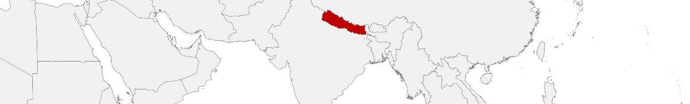
Nepal Purchasing Power, Socio-demographics & Area Boundaries

Your trusted Source of Geodata for Nepal for Postcode 3-digit, Gāunpālikā and Jillā
Discover a comprehensive suite of geodata for Nepal from our extensive global data offering of sociodemographic and purchasing power data. Elevate your geomarketing, target group analyses, and location studies with our detailed insights. MBI provides accurate area boundaries (vector boundaries, polygons) with detailed, seamless coverage of the following areas: Postcode 3-digit, Gāunpālikā and Jillā. Our data’s global consistency and comparability enable you to draw comparisons between Nepal and any other country worldwide. Additionally, political risk data allows you to develop targeted adaptation strategies to increase your location, logistics, and investment security.
Tailored for professionals in areas such as expansion planning, risk management, portfolio analysis, and statistical research, our data is accessible in all standard GIS formats and Excel. Licensed from MBI, this data ensures you have the robust information needed for strategic decision-making to drive your sales and business forward and maximize ROI.
Data that can currently be licensed from mbi for Nepal
Each attribute or geographical level can be licensed individually.
| Geographic level | ||
|---|---|---|
| Area level | Administrative | Grid |
| Name | Jillā | 100 x 100 m |
| Number of areas | 77 | |
| Geometry | ||
| Polygons | ||
| Data / Variables | ||
| Population | ||
| Age bands | ||
| Sex / Gender | ||
| Households | ||
| Unemployed | ||
| Purchasing power | ||
| Socio Bundle Plus | ||
| Political Risk | ||
| Get a quote | Get a quote | |
| Additional Political Risk Data by Regions | ||||
|---|---|---|---|---|
| Regions | SUSAFE Basic | Calculated Trends | Conflict Insights | |
| Self-Explaining Political Risk Data | 21 | |||
| Get a quote | Get a quote | Get a quote | Get a quote | |
Geodata for Nepal: Enhancing Development in the Himalayas
Nepal, a country known for its breathtaking landscapes, rich cultural heritage, and diverse ecosystems, presents unique opportunities for businesses across various sectors. Nestled in the Himalayas, with its strategic location between India and China, Nepal is an attractive market for both national and international companies. Businesses operating in Nepal can benefit immensely from detailed geodata, which provides crucial insights for market analysis, strategic planning, and operational optimization. MBI’s geodata empowers businesses to navigate the complexities of Nepal’s diverse regions, enhancing their ability to make informed decisions and seize emerging opportunities.
Geographical Levels and Products
MBI’s geodata for Nepal is concentrated at the “Jillā” (Districts) level. This level of granularity is vital for understanding the distinct needs and potentials across Nepal’s diverse districts. Available products include:
- Population: Crucial for demographic studies and planning, aiding in market analysis, workforce planning, and service provision across districts.
- Purchasing Power: Offers insights into economic capabilities and consumer spending potential, supporting market analysis and investment planning.
- Socio Demographics: Provides a comprehensive view of the population’s characteristics, supporting targeted marketing, product development, and service delivery.
- Digital Boundaries: Essential for accurate mapping and spatial analysis, this product site selection, infrastructure development, and logistical planning, ensuring projects are optimally located to serve the population and address specific regional needs.
Use Cases
In Nepal, businesses can leverage detailed geodata to enhance their operations and strategic initiatives across various sectors:
- Retail and E-Commerce: Understanding district-level purchasing power and socio-demographics helps retailers and e-commerce platforms identify high-potential markets, tailor their offerings, and optimize distribution networks..
- Healthcare Infrastructure Expansion: Utilizing population and digital boundary data, healthcare authorities planned and executed the expansion of medical facilities and services in underserved districts, improving accessibility and health outcomes.
Why Use Geodata from MBI for Nepal
MBI’s geodata for Nepal is indispensable for businesses seeking to thrive in this diverse and rapidly evolving market. With comprehensive data at the district level, companies can gain a deep understanding of local demographics, purchasing power, and socio-economic trends. This enables precise targeting, strategic planning, and efficient resource allocation. Whether your focus is on retail, agriculture, healthcare, tourism, or infrastructure development, MBI’s geodata provides the insights needed to make informed decisions and drive business success. Investing in MBI’s geodata equips businesses with the asset to unlock Nepal’s full economic potential, ensuring a competitive edge and sustainable growth in this vibrant market.
Advantages of our administrative Boundaries
- Worldwide, seamless coverage of postal and administrative boundaries
- The layers are topographically correct and country borders fit seamlessly together without overlaps and gaps
- Data and areas can be easily combined in one layer thanks to a unique key, enabling cross-country analysis
- Constant updates guarantee a current data status
- The vintage compatibility between the MBI boundaries and the MBI Sociodemographic and Purchasing Power data is guaranteed
- Simple update by uniform layout of the layer names
- The higher-level area hierarchies are included with the boundary files
- Digital boundaries are in a vector format to allow visualization in any zoom levels
Smart Combination
The territorial vintages of the worldwide area boundaries are compatible with our globally consistent and comparable socio-economic data. We offer you a reliable basis for well-founded and data-based decisions. If desired, we can integrate the MBI data directly into our digital boundaries. So, you can load them directly into your system without any additional steps and use them immediately.
COUNTRY AVAILABILITY
Europe | North America | South America | Asia | Oceania | Africa
DATA FORMATS
Tab delimited file (TXT) | KML | Access database (MDB) | Excel (xls) | Esri Shapefile (.shp) | Esri Geodatabase (.gdb) | MapInfo (.tab, .tabx) | MapInfo MIF/MID | GeoJSON | GeoParquet (.parquet) | GeoPackage (.gpkg) | more on request
> LEARN MORE
TELL US WHERE YOU ARE HEADING.
WE WILL GLADLY ASSIST YOU IN SELECTING THE DATA NEEDED TO REACH YOUR GOAL.
Didn’t find what you are looking for or have another question? Please do not hesitate to contact us!
Our experts will be happy to advise you individually and without obligation on which data you can use to create added value for your company and realize savings.
Would you like to evaluate and visualize the data?