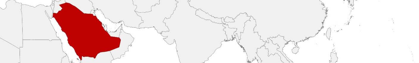
Saudi Arabia Purchasing Power, Socio-demographics & Area Boundaries

Your trusted Source of Geodata for Saudi Arabia for Postcode 2-digit and Muḥāfaẓāt
Discover a comprehensive suite of geodata for Saudi Arabia from our extensive global data offering of sociodemographic and purchasing power data. Elevate your geomarketing, target group analyses, and location studies with our detailed insights. MBI provides accurate area boundaries (vector boundaries, polygons) with detailed, seamless coverage of the following areas: Postcode 2-digit and Muḥāfaẓāt. Our data’s global consistency and comparability enable you to draw comparisons between Saudi Arabia and any other country worldwide. Additionally, political risk data allows you to develop targeted adaptation strategies to increase your location, logistics, and investment security.
Tailored for professionals in areas such as expansion planning, risk management, portfolio analysis, and statistical research, our data is accessible in all standard GIS formats and Excel. Licensed from MBI, this data ensures you have the robust information needed for strategic decision-making to drive your sales and business forward and maximize ROI.
Data that can currently be licensed from mbi for Saudi Arabia
Each attribute or geographical level can be licensed individually.
| Geographic level | ||
|---|---|---|
| Area level | Administrative | Grid |
| Name | Muḥāfaẓāt | 100 x 100 m |
| Number of areas | 150 | |
| Geometry | ||
| Polygons | ||
| Data / Variables | ||
| Population | ||
| Age bands | ||
| Sex / Gender | ||
| Households | ||
| Purchasing power | ||
| Consumer Spending by Product Groups | ||
| Education (country-specific) | ||
| Marital status (country-specific) | ||
| Consumer Styles | ||
| Daytime Population | ||
| Online-Shopping Affinity | ||
| Socio Bundle Plus | ||
| Political Risk | ||
| Get a quote | Get a quote | |
| Additional Political Risk Data by Regions | ||||
|---|---|---|---|---|
| Regions | SUSAFE Basic | Calculated Trends | Conflict Insights | |
| Self-Explaining Political Risk Data | 13 | |||
| Get a quote | Get a quote | Get a quote | Get a quote | |
Geodata for Saudi Arabia: Fueling visions for the future with Precision Insights
Saudi Arabia, the heart of the Arab and Islamic worlds, the powerhouse of the Middle East, and an economic leader with a great vision for the future, is on a transformative path toward economic diversification, technological advancement, and sustainable development. In a country renowned for its vast oil reserves, ambitious urban development projects, and cultural heritage sites, the strategic application of detailed geodata is pivotal. MBI’s geodata offerings for Saudi Arabia are meticulously designed to support these national goals, providing critical insights for geomarketing, GIS, expansion planning, spatial analysis, transportation planning, location intelligence analysis, and risk management.
Geographical Levels and Products
MBI’s geodata for Saudi Arabia is available at the “Muḥāfaẓāt” (Governorates) level. The available products include:
- Population and Daytime Population: Key datasets for demographic analysis and urban planning, supporting equitable resource allocation and targeted development initiatives across governorates.
- Consumer Styles, Purchasing Power, Socio Demographics: Insights into consumer behavior, economic capabilities, and socio-economic characteristics inform market analysis, investment planning, and the formulation of tailored development strategies.
- Digital Boundaries: Essential for precise mapping and spatial analysis, supporting infrastructure development and strategic planning. This ensures projects are optimally located to serve the population and align with Saudi Arabia’s development objectives.
Country-Specific Insights
In Saudi Arabia, where enhancing economic competitiveness, promoting sustainable urban development, advancing technological innovation, and preserving cultural heritage are core, detailed geodata underpins strategic initiatives across sectors. The diversification of the Saudi Arabian economy presents a significant opportunity for national and global companies to engage in mutually beneficial collaboration. Insights into governorate-level demographics, economic capabilities, and consumer behavior support targeted strategies in this context.
Use Case
- Infrastructure Development: Embarking on groundbreaking urban development projects, focusing on smart infrastructure, and global tourism, geodata like Population and Daytime Population, stand to facilitate informed decision-making across Saudi Arabia’s diverse landscapes
- Economic Diversification and Digital Transformation: Leveraging socio-demographic and purchasing power data, businesses in Saudi Arabia can drive the digital economy, enhancing online services, and expanding into sectors beyond oil, such as tourism, entertainment, and renewable energy.
Why Use Geodata from MBI for Saudi Arabia
MBI’s geodata is essential for advancing Saudi Arabia’s vision by enabling data-driven decisions that enhance economic diversification, technological advancement, and sustainable development. Accurate insights at the governorate level help businesses and government entities optimize infrastructure projects, market strategies, and spatial planning. Investing in MBI’s geodata aligns with national goals, equipping stakeholders to drive growth, innovation, and equitable development across the Kingdom.
Advantages of our administrative Boundaries
- Worldwide, seamless coverage of postal and administrative boundaries
- The layers are topographically correct and country borders fit seamlessly together without overlaps and gaps
- Data and areas can be easily combined in one layer thanks to a unique key, enabling cross-country analysis
- Constant updates guarantee a current data status
- The vintage compatibility between the MBI boundaries and the MBI Sociodemographic and Purchasing Power data is guaranteed
- Simple update by uniform layout of the layer names
- The higher-level area hierarchies are included with the boundary files
- Digital boundaries are in a vector format to allow visualization in any zoom levels
Smart Combination
The territorial vintages of the worldwide area boundaries are compatible with our globally consistent and comparable socio-economic data. We offer you a reliable basis for well-founded and data-based decisions. If desired, we can integrate the MBI data directly into our digital boundaries. So, you can load them directly into your system without any additional steps and use them immediately.
COUNTRY AVAILABILITY
Europe | North America | South America | Asia | Oceania | Africa
DATA FORMATS
Tab delimited file (TXT) | KML | Access database (MDB) | Excel (xls) | Esri Shapefile (.shp) | Esri Geodatabase (.gdb) | MapInfo (.tab, .tabx) | MapInfo MIF/MID | GeoJSON | GeoParquet (.parquet) | GeoPackage (.gpkg) | more on request
> LEARN MORE
TELL US WHERE YOU ARE HEADING.
WE WILL GLADLY ASSIST YOU IN SELECTING THE DATA NEEDED TO REACH YOUR GOAL.
Didn’t find what you are looking for or have another question? Please do not hesitate to contact us!
Our experts will be happy to advise you individually and without obligation on which data you can use to create added value for your company and realize savings.
Would you like to evaluate and visualize the data?