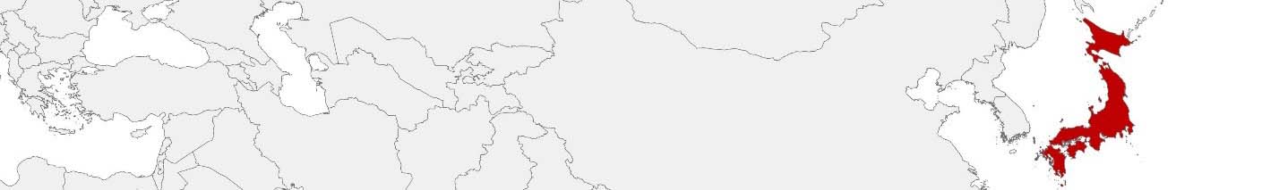
Japan Purchasing Power, Socio-demographics & Area Boundaries

Your trusted Source of Geodata for Japan for Postcode 7-digit, Shikuchōson and Cho-Cho-Moku
Discover a comprehensive suite of geodata for Japan from our extensive global data offering of sociodemographic and purchasing power data. Elevate your geomarketing, target group analyses, and location studies with our detailed insights. MBI provides accurate area boundaries (vector boundaries, polygons) with detailed, seamless coverage of the following areas: Postcode 7-digit, Shikuchōson and Cho-Cho-Moku. Our data’s global consistency and comparability enable you to draw comparisons between Japan and any other country worldwide. Additionally, political risk data allows you to develop targeted adaptation strategies to increase your location, logistics, and investment security.
Tailored for professionals in areas such as expansion planning, risk management, portfolio analysis, and statistical research, our data is accessible in all standard GIS formats and Excel. Licensed from MBI, this data ensures you have the robust information needed for strategic decision-making to drive your sales and business forward and maximize ROI.
Data that can currently be licensed from mbi for Japan
Each attribute or geographical level can be licensed individually.
| Geographic level | ||||
|---|---|---|---|---|
| Area level | Post Code / ZIP Code | Administrative | Micro | Grid |
| Name | PC 7-digit | Shikuchōson | Cho-Cho-Moku | 100 x 100 m |
| Number of areas | 115225 | 1892 | 220635 | |
| Geometry | ||||
| Polygons | ||||
| Data / Variables | ||||
| Population | ||||
| Age bands | ||||
| Sex / Gender | ||||
| Households | ||||
| Unemployed | ||||
| Purchasing power | ||||
| Consumer Spending by Product Groups | ||||
| Households by Income Quintiles | ||||
| Education (country-specific) | ||||
| Households by Type (country-specific) | ||||
| Marital status (country-specific) | ||||
| Consumer Styles | ||||
| Daytime Population | ||||
| Online-Shopping Affinity | ||||
| Socio Bundle Plus | ||||
| Political Risk | ||||
| Economic Risk | ||||
| Get a quote | Get a quote | Get a quote | Get a quote | |
| Political Risk Data | ||||
|---|---|---|---|---|
| Regions | SUSAFE Basic | Calculated Trends | Conflict Insights | |
| Self-Explaining Political Risk Data | 47 | |||
| Get a quote | Get a quote | Get a quote | Get a quote | |
Geodata for Japan: Empowering Innovation and Efficiency
Japan, a global leader in technology, innovation, and urban planning, presents a landscape where the precision of geodata is not just beneficial but essential. The country’s unique blend of ancient traditions and cutting-edge technology, coupled with its dense urban centers and diverse regional landscapes, requires nuanced geodata analysis. MBI’s offerings for Japan are crafted to meet these needs, providing essential insights for geomarketing, GIS, expansion planning, spatial analysis, transportation planning, location intelligence analysis, and risk management.
Geographical Levels and Products
MBI’s geodata for Japan is available across three detailed levels, each serving different analytical needs and applications:
- Cho-Cho-Moku: This ultra-granular level provides insights into the smallest administrative units, offering data on Population, Purchasing Power, Households, and other. It’s invaluable for hyper-localized marketing strategies and retail planning.
- Post Code 7-digit: Reflects Japan’s detailed postal code system.
- Shikuchōson: Covering municipalities, this level offers a broader view with additional data on Retail Spending, Unemployed and more. It supports regional planning and comprehensive market analysis.
Country-Specific Insights
In Japan, where the harmonization of technological advancement with societal needs is paramount, detailed geodata can inform numerous strategic initiatives. From optimizing retail and e-commerce based on consumer behavior and online shopping trends to planning urban environments that reflect population dynamics, MBI’s geodata supports decision-making across sectors. Moreover, it aids in disaster preparedness and response, a critical aspect of Japan’s urban and regional planning.
Why Use Geodata from MBI for Japan
MBI’s geodata for Japan offers vital insights into the nation’s intricate demographic, economic, and spatial dynamics. By providing detailed information across Cho-Cho-Moku, Post Code 7-digit, and Shikuchōson levels, MBI equips decision-makers with the necessary basis for informed planning. Whether for enhancing e-commerce, advancing urban resilience, or tailoring consumer services, MBI’s geodata is an invaluable asset for Japan’s future.
Advantages of our administrative Boundaries
- Worldwide, seamless coverage of postal and administrative boundaries
- The layers are topographically correct and country borders fit seamlessly together without overlaps and gaps
- Data and areas can be easily combined in one layer thanks to a unique key, enabling cross-country analysis
- Constant updates guarantee a current data status
- The vintage compatibility between the MBI boundaries and the MBI Sociodemographic and Purchasing Power data is guaranteed
- Simple update by uniform layout of the layer names
- The higher-level area hierarchies are included with the boundary files
- Digital boundaries are in a vector format to allow visualization in any zoom levels
Smart Combination
The territorial vintages of the worldwide area boundaries are compatible with our globally consistent and comparable socio-economic data. We offer you a reliable basis for well-founded and data-based decisions. If desired, we can integrate the MBI data directly into our digital boundaries. So, you can load them directly into your system without any additional steps and use them immediately.
COUNTRY AVAILABILITY
Europe | North America | South America | Asia | Oceania | Africa
DATA FORMATS
Tab delimited file (TXT) | KML | Access database (MDB) | Excel (xls) | Esri Shapefile (.shp) | Esri Geodatabase (.gdb) | MapInfo (.tab, .tabx) | MapInfo MIF/MID | GeoJSON | GeoParquet (.parquet) | GeoPackage (.gpkg) | more on request
> LEARN MORE
TELL US WHERE YOU ARE HEADING.
WE WILL GLADLY ASSIST YOU IN SELECTING THE DATA NEEDED TO REACH YOUR GOAL.
Didn’t find what you are looking for or have another question? Please do not hesitate to contact us!
Our experts will be happy to advise you individually and without obligation on which data you can use to create added value for your company and realize savings.
Would you like to evaluate and visualize the data?