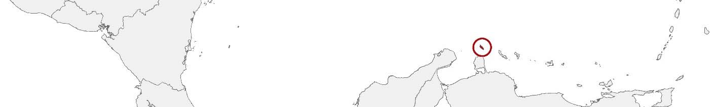
Aruba Purchasing Power, Socio-demographics & Area Boundaries

Your trusted Source of Geodata for Aruba for Regio’s and Zones
Discover a comprehensive suite of geodata for Aruba from our extensive global data offering of sociodemographic and purchasing power data. Elevate your geomarketing, target group analyses, and location studies with our detailed insights. MBI provides accurate area boundaries (vector boundaries, polygons) with detailed, seamless coverage of the following areas: Regio’s and Zones. Our data’s global consistency and comparability enable you to draw comparisons between Aruba and any other country worldwide. Additionally, political risk data allows you to develop targeted adaptation strategies to increase your location, logistics, and investment security.
Tailored for professionals in areas such as expansion planning, risk management, portfolio analysis, and statistical research, our data is accessible in all standard GIS formats and Excel. Licensed from MBI, this data ensures you have the robust information needed for strategic decision-making to drive your sales and business forward and maximize ROI.
Data that can currently be licensed from mbi for Aruba
Each attribute or geographical level can be licensed individually.
| Geographic level | ||
|---|---|---|
| Area level | Administrative | Grid |
| Name | Regio's | 100 x 100 m |
| Number of areas | 8 | |
| Geometry | ||
| Polygons | ||
| Data / Variables | ||
| Population | ||
| Age bands | ||
| Sex / Gender | ||
| Households | ||
| Unemployed | ||
| Purchasing power | ||
| Daytime Population | ||
| Socio Bundle Plus | ||
| Political Risk | ||
| Get a quote | Get a quote | |
| Additional Political Risk Data by Regions | ||||
|---|---|---|---|---|
| Regions | SUSAFE Basic | Calculated Trends | Conflict Insights | |
| Self-Explaining Political Risk Data | 1 | |||
| Get a quote | Get a quote | Get a quote | Get a quote | |
Aruba’s Geodata Insights: Navigating Through the Island’s Development
Aruba, a gem in the Caribbean, is renowned for its white-sand beaches, turquoise waters, and vibrant cultural scene. MBI’s offerings, mapping out Aruba’s regions, equip professionals in geomarketing, GIS, expansion planning, spatial analysis, and more with the data necessary for insightful decision-making.
Geographical Levels and Products
Aruba’s administrative division into regions, or Regio’s, is the backbone of MBI’s geodata offerings, facilitating:
- Population and Daytime Population Data: Crucial for understanding the distribution across the island, aiding in tourism management and local services planning.
- Purchasing Power: Insights into the economic strength of different regions, pivotal for retail and service sector strategies.
- Socio-Demographics: Detailed demographic data supports targeted initiatives, policymaking, and market segmentation.
- Digital Boundaries: Essential for environmental management, urban planning, and emergency response strategies.
Country-Specific Insights
Aruba’s economy, heavily reliant on tourism, benefits from a detailed understanding of population dynamics and purchasing power. Geodata aids in diversifying the economy, optimizing resource allocation, and enhancing the visitor experience without compromising on sustainability goals. The insights also support Aruba’s vision of becoming more self-sustainable and less dependent on imports.
Use Cases
One possible application of MBI’s geodata in Aruba is optimizing the island’s water distribution system to address areas with high demand, particularly in regions experiencing rapid growth due to tourism. Another example is the use of daytime population, socio-demographic and digital boundaries data by local businesses to develop targeted marketing campaigns aimed at both residents and tourists, enhancing customer engagement and sales.
Why Use Geodata from MBI for Aruba
MBI’s geodata offerings for Aruba provide a comprehensive view of the island’s socio-economic and demographic landscape, enabling stakeholders to navigate its development challenges and opportunities with precision. From sustainable tourism to local economic development, these insights are invaluable for crafting strategies that balance growth with environmental stewardship and community well-being.
Advantages of our administrative Boundaries
- Worldwide, seamless coverage of postal and administrative boundaries
- The layers are topographically correct and country borders fit seamlessly together without overlaps and gaps
- Data and areas can be easily combined in one layer thanks to a unique key, enabling cross-country analysis
- Constant updates guarantee a current data status
- The vintage compatibility between the MBI boundaries and the MBI Sociodemographic and Purchasing Power data is guaranteed
- Simple update by uniform layout of the layer names
- The higher-level area hierarchies are included with the boundary files
- Digital boundaries are in a vector format to allow visualization in any zoom levels
Smart Combination
The territorial vintages of the worldwide area boundaries are compatible with our globally consistent and comparable socio-economic data. We offer you a reliable basis for well-founded and data-based decisions. If desired, we can integrate the MBI data directly into our digital boundaries. So, you can load them directly into your system without any additional steps and use them immediately.
COUNTRY AVAILABILITY
Europe | North America | South America | Asia | Oceania | Africa
DATA FORMATS
Tab delimited file (TXT) | KML | Access database (MDB) | Excel (xls) | Esri Shapefile (.shp) | Esri Geodatabase (.gdb) | MapInfo (.tab, .tabx) | MapInfo MIF/MID | GeoJSON | GeoParquet (.parquet) | GeoPackage (.gpkg) | more on request
> LEARN MORE
TELL US WHERE YOU ARE HEADING.
WE WILL GLADLY ASSIST YOU IN SELECTING THE DATA NEEDED TO REACH YOUR GOAL.
Didn’t find what you are looking for or have another question? Please do not hesitate to contact us!
Our experts will be happy to advise you individually and without obligation on which data you can use to create added value for your company and realize savings.
Would you like to evaluate and visualize the data?