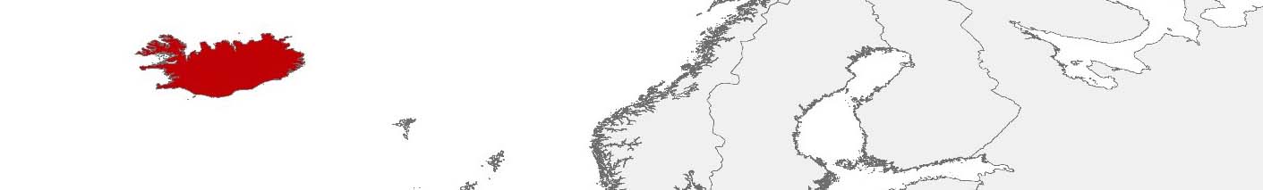
Iceland Purchasing Power, Socio-demographics & Area Boundaries
Your trusted Source of Geodata for Iceland for Postcode 3-digit, Sveitarfélög, Minor Statistical Output Areas and 100 Meter Grid
Discover a comprehensive suite of geodata for Iceland from our extensive global data offering of sociodemographic and purchasing power data. Elevate your geomarketing, target group analyses, and location studies with our detailed insights. MBI provides accurate area boundaries (vector boundaries, polygons) with detailed, seamless coverage of the following areas: Postcode 3-digit, Sveitarfélög, Minor Statistical Output Areas and 100 Meter Grid. Our data’s global consistency and comparability enable you to draw comparisons between Iceland and any other country worldwide. Additionally, political risk data allows you to develop targeted adaptation strategies to increase your location, logistics, and investment security.
Tailored for professionals in areas such as expansion planning, risk management, portfolio analysis, and statistical research, our data is accessible in all standard GIS formats and Excel. Licensed from MBI, this data ensures you have the robust information needed for strategic decision-making to drive your sales and business forward and maximize ROI.
Data that can currently be licensed from mbi for Iceland
Each attribute or geographical level can be licensed individually.
| Geographic level | |||
|---|---|---|---|
| Area level | Post Code / ZIP Code | Administrative | Grid |
| Name | PC 3-digit | Sveitarfélög | 100 x 100 m |
| Number of areas | 175 | 62 | |
| Geometry | |||
| Polygons | |||
| Data / Variables | |||
| Population | |||
| Age bands | |||
| Sex / Gender | |||
| Households | |||
| Unemployed | |||
| Purchasing power | |||
| Retail Spending | |||
| Retail Turnover | |||
| Retail Centrality | |||
| Consumer Spending by Product Groups | |||
| Education (country-specific) | |||
| Households by Type (country-specific) | |||
| Marital status (country-specific) | |||
| Consumer Styles | |||
| Daytime Population | |||
| Online-Shopping Affinity | |||
| Socio Bundle Plus | |||
| Political Risk | |||
| Get a quote | Get a quote | Get a quote | |
| Additional Political Risk Data by Regions | ||||
|---|---|---|---|---|
| Regions | SUSAFE Basic | Calculated Trends | Conflict Insights | |
| Self-Explaining Political Risk Data | 11 | |||
| Get a quote | Get a quote | Get a quote | Get a quote | |
Geodata for Iceland: Harnessing Data for a Sustainable Future
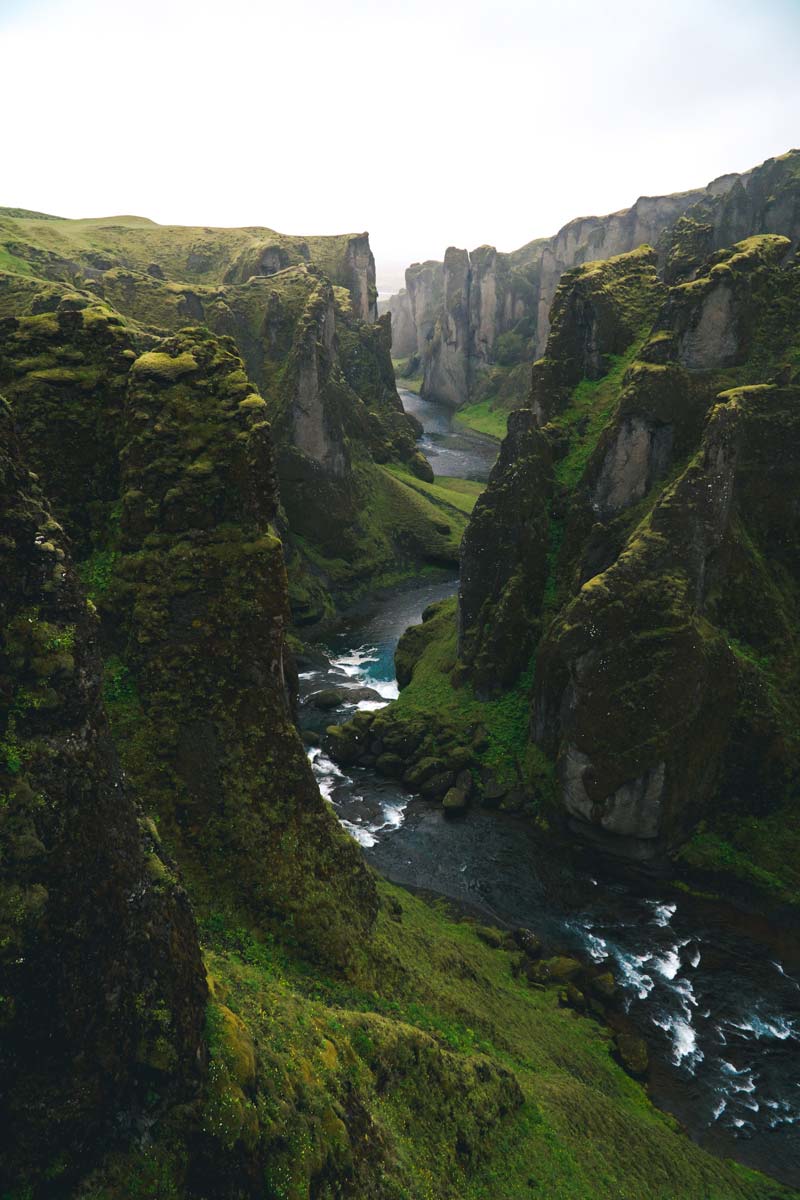
Iceland, a country renowned for its stunning natural landscapes, geothermal energy, and commitment to sustainability, faces unique challenges and opportunities in balancing development with environmental preservation. The nation’s approach to harnessing renewable energy, promoting eco-tourism, and ensuring community well-being requires sophisticated geodata. MBI’s offerings for Iceland are designed to support these goals, providing key insights for geomarketing, GIS, expansion planning, spatial analysis, transportation planning, location intelligence analysis, and risk management.
Geographical Levels and Products
MBI’s geodata for Iceland is available at three levels, facilitating comprehensive analysis and strategic planning:
- Sveitarfélög (Municipalities): Covering Iceland’s municipalities, this level offers insights into local governance areas with products including:
- Retail Spending & Retail Centrality: Understanding the retail landscape at the municipal level helps businesses optimize store locations, marketing efforts, and product offerings to meet local demand effectively.Purchasing Power: Offers insights into economic capabilities and consumer spending potential.
- Consumer Styles & Online-Shopping Affinity: These insights are invaluable for businesses looking to tailor their marketing strategies to the preferences of Icelandic consumers, especially in a market where digital commerce is growing and consumer behavior is evolving.
- Post Code 3-digit: Reflecting broader postal code areas, this level is crucial for logistics, retail planning, and regional market analysis, offering products such as:
- Purchasing Power: This data is essential for businesses assessing market potential across different municipalities, helping to identify areas with higher disposable income and stronger consumer demand.
- Households & Gender Data: These demographic insights allow businesses and public agencies to tailor their offerings and services to the unique needs of different population segments, supporting more targeted and effective strategies.
- Digital Boundaries: Facilitates spatial analysis and planning for a variety of applications, from public services to retail expansion.
- Grid
These offerings enable stakeholders to navigate Iceland’s unique landscape with accuracy and insight, supporting sustainable development initiatives and community planning.
Country-Specific Insights
In Iceland, where the focus is on sustainability, renewable energy utilization, and enhancing the quality of life, detailed geodata plays a crucial role. Insights into population dynamics and consumer styles help tailor services and products to meet the needs of both residents and tourists. Additionally, purchasing power data informs economic development strategies, including tourism, fishing, and high-tech industries.
Use Case
A practical example of MBI’s geodata application in Iceland could involve a tourism company looking to expand its offerings across the country. By utilizing Nighttime & Daytime Population data at the Sveitarfélög level, the company can identify high-potential areas for new services or accommodations. Additionally, Digital Boundaries data would assist in planning the locations of these services, ensuring they are accessible and environmentally sustainable.
Advantages of our administrative Boundaries
- Worldwide, seamless coverage of postal and administrative boundaries
- The layers are topographically correct and country borders fit seamlessly together without overlaps and gaps
- Data and areas can be easily combined in one layer thanks to a unique key, enabling cross-country analysis
- Constant updates guarantee a current data status
- The vintage compatibility between the MBI boundaries and the MBI Sociodemographic and Purchasing Power data is guaranteed
- Simple update by uniform layout of the layer names
- The higher-level area hierarchies are included with the boundary files
- Digital boundaries are in a vector format to allow visualization in any zoom levels
Smart Combination
The territorial vintages of the worldwide area boundaries are compatible with our globally consistent and comparable socio-economic data. We offer you a reliable basis for well-founded and data-based decisions. If desired, we can integrate the MBI data directly into our digital boundaries. So, you can load them directly into your system without any additional steps and use them immediately.
COUNTRY AVAILABILITY
Europe | North America | South America | Asia | Oceania | Africa
DATA FORMATS
Tab delimited file (TXT) | KML | Access database (MDB) | Excel (xls) | Esri Shapefile (.shp) | Esri Geodatabase (.gdb) | MapInfo (.tab, .tabx) | MapInfo MIF/MID | GeoJSON | GeoParquet (.parquet) | GeoPackage (.gpkg) | more on request
> LEARN MORE
TELL US WHERE YOU ARE HEADING.
WE WILL GLADLY ASSIST YOU IN SELECTING THE DATA NEEDED TO REACH YOUR GOAL.
Didn’t find what you are looking for or have another question? Please do not hesitate to contact us!
Our experts will be happy to advise you individually and without obligation on which data you can use to create added value for your company and realize savings.
Would you like to evaluate and visualize the data?