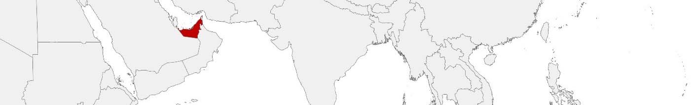
United Arab Emirates Purchasing Power, Socio-demographics & Area Boundaries

Your trusted Source of Geodata for United Arab Emirates for Districts, Emirates, Abu Dhabi Regions and Dubai Sectors and Subdistricts
Discover a comprehensive suite of geodata for United Arab Emirates from our extensive global data offering of sociodemographic and purchasing power data. Elevate your geomarketing, target group analyses, and location studies with our detailed insights. MBI provides accurate area boundaries (vector boundaries, polygons) with detailed, seamless coverage of the following areas: Districts, Emirates, Abu Dhabi Regions and Dubai Sectors and Subdistricts. Our data’s global consistency and comparability enable you to draw comparisons between United Arab Emirates and any other country worldwide. Additionally, political risk data allows you to develop targeted adaptation strategies to increase your location, logistics, and investment security.
Tailored for professionals in areas such as expansion planning, risk management, portfolio analysis, and statistical research, our data is accessible in all standard GIS formats and Excel. Licensed from MBI, this data ensures you have the robust information needed for strategic decision-making to drive your sales and business forward and maximize ROI.
Data that can currently be licensed from mbi for United Arab Emirates
Each attribute or geographical level can be licensed individually.
| Geographic level | |||
|---|---|---|---|
| Area level | Administrative | Micro | Grid |
| Name | Emirates, Abu Dhabi Regions and Dubai Sectors | Subdistricts | 100 x 100 m |
| Number of areas | 17 | 2729 | |
| Geometry | |||
| Polygons | |||
| Data / Variables | |||
| Population | |||
| Sex / Gender | |||
| Households | |||
| Purchasing power | |||
| Consumer Spending by Product Groups | |||
| Education (country-specific) | |||
| Consumer Styles | |||
| Daytime Population | |||
| Online-Shopping Affinity | |||
| Political Risk | |||
| Get a quote | Get a quote | Get a quote | |
| Additional Political Risk Data by Regions | ||||
|---|---|---|---|---|
| Regions | SUSAFE Basic | Calculated Trends | Conflict Insights | |
| Self-Explaining Political Risk Data | 7 | |||
| Get a quote | Get a quote | Get a quote | Get a quote | |
United Arab Emirates’ Geodata: Empowering Innovation and Growth
The United Arab Emirates (UAE), a federation of seven emirates, is a global hub for commerce, tourism, and innovation, characterized by its rapid urbanization, state-of-the-art infrastructure, and diverse cultural landscape. The country’s strategic location at the crossroads of East and West makes it a pivotal player in international trade and business. In this context, geodata plays a crucial role in supporting decision-making across sectors such as real estate, retail, tourism, and logistics. The UAE’s geodata offerings, specifically tailored for its unique urban and economic environment, are focused on the geographical level of Regions and Sectors.
Geographical Levels and Products
In the United Arab Emirates, a wide range of data products that cater to the needs of businesses and government entities are available:
- Population and Daytime Population: Provide insights into demographic trends and population movements, essential for urban planning and retail location strategies.
- Consumer Styles: Offer detailed consumer behavior profiles, supporting targeted marketing and product development.
- Purchasing Power and Consumer Spending by Product Groups: Crucial for identifying market opportunities and optimizing product placement.
- Unemployed: This data is critical for assessing economic conditions and labor market trends. It aids in workforce planning and socio-economic analysis.
- Households and Gender: Gender distribution and number of Households support targeted marketing and product development. Businesses can align their offerings with the demographic profile of each Region or Sector.
- Digital Boundaries: Enable precise spatial analyses for projects in sectors such as infrastructure development.
Country-Specific Insights
The UAE’s diverse and rapidly changing demographic landscape, combined with its ambitious economic diversification strategies, presents unique opportunities for leveraging geodata. The detailed insights into consumer behavior, purchasing patterns, and demographic shifts are invaluable for businesses aiming to capitalize on the burgeoning markets within the country. For instance, Daytime Population in combination with socio-economic indicators can inform strategic decisions regarding mall developments or expansions, ensuring alignment with consumer trends and market demand.
Why Use Geodata from MBI for United Arab Emirates
A real estate company in the United Arab Emirates could utilize geodata to analyze population growth and consumer spending patterns in different regions, identifying prime locations for residential or commercial projects.
Advantages of our administrative Boundaries
- Worldwide, seamless coverage of postal and administrative boundaries
- The layers are topographically correct and country borders fit seamlessly together without overlaps and gaps
- Data and areas can be easily combined in one layer thanks to a unique key, enabling cross-country analysis
- Constant updates guarantee a current data status
- The vintage compatibility between the MBI boundaries and the MBI Sociodemographic and Purchasing Power data is guaranteed
- Simple update by uniform layout of the layer names
- The higher-level area hierarchies are included with the boundary files
- Digital boundaries are in a vector format to allow visualization in any zoom levels
Smart Combination
The territorial vintages of the worldwide area boundaries are compatible with our globally consistent and comparable socio-economic data. We offer you a reliable basis for well-founded and data-based decisions. If desired, we can integrate the MBI data directly into our digital boundaries. So, you can load them directly into your system without any additional steps and use them immediately.
COUNTRY AVAILABILITY
Europe | North America | South America | Asia | Oceania | Africa
DATA FORMATS
Tab delimited file (TXT) | KML | Access database (MDB) | Excel (xls) | Esri Shapefile (.shp) | Esri Geodatabase (.gdb) | MapInfo (.tab, .tabx) | MapInfo MIF/MID | GeoJSON | GeoParquet (.parquet) | GeoPackage (.gpkg) | more on request
> LEARN MORE
TELL US WHERE YOU ARE HEADING.
WE WILL GLADLY ASSIST YOU IN SELECTING THE DATA NEEDED TO REACH YOUR GOAL.
Didn’t find what you are looking for or have another question? Please do not hesitate to contact us!
Our experts will be happy to advise you individually and without obligation on which data you can use to create added value for your company and realize savings.
Would you like to evaluate and visualize the data?