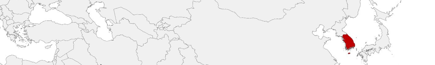
South Korea Purchasing Power, Socio-demographics & Area Boundaries

Your trusted Source of Geodata for South Korea for Postcode 5-digit, Si Gun and Administrative Dong
Discover a comprehensive suite of geodata for South Korea from our extensive global data offering of sociodemographic and purchasing power data. Elevate your geomarketing, target group analyses, and location studies with our detailed insights. MBI provides accurate area boundaries (vector boundaries, polygons) with detailed, seamless coverage of the following areas: Postcode 5-digit, Si Gun and Administrative Dong. Our data’s global consistency and comparability enable you to draw comparisons between South Korea and any other country worldwide. Additionally, political risk data allows you to develop targeted adaptation strategies to increase your location, logistics, and investment security.
Tailored for professionals in areas such as expansion planning, risk management, portfolio analysis, and statistical research, our data is accessible in all standard GIS formats and Excel. Licensed from MBI, this data ensures you have the robust information needed for strategic decision-making to drive your sales and business forward and maximize ROI.
Data that can currently be licensed from mbi for South Korea
Each attribute or geographical level can be licensed individually.
| Geographic level | |||
|---|---|---|---|
| Area level | Administrative | Micro | Grid |
| Name | Si Gun | Administrative Dong | 100 x 100 m |
| Number of areas | 229 | 3521 | |
| Geometry | |||
| Polygons | |||
| Data / Variables | |||
| Population | |||
| Age bands | |||
| Sex / Gender | |||
| Households | |||
| Purchasing power | |||
| Consumer Spending by Product Groups | |||
| Education (country-specific) | |||
| Marital status (country-specific) | |||
| Consumer Styles | |||
| Daytime Population | |||
| Online-Shopping Affinity | |||
| Socio Bundle Plus | |||
| Political Risk | |||
| Economic Risk | |||
| Get a quote | Get a quote | Get a quote | |
| Additional Political Risk Data by Regions | ||||
|---|---|---|---|---|
| Regions | SUSAFE Basic | Calculated Trends | Conflict Insights | |
| Self-Explaining Political Risk Data | 19 | |||
| Get a quote | Get a quote | Get a quote | Get a quote | |
Geodata for South Korea: Advancing Urban Planning and Economic Growth
South Korea, renowned for its rapid technological advancements and robust economic growth, is leveraging detailed geodata to drive innovation and development. Businesses, both national and international, operating in South Korea can harness MBI’s comprehensive geodata offerings to gain a competitive edge. These data sets support a wide range of applications, from geomarketing and GIS to expansion planning, spatial analysis, transportation planning, location intelligence analysis, and risk management.
Geographical Levels and Products
MBI’s geodata for South Korea is meticulously detailed across two significant levels:
- Si Gun: Covering cities and counties, this level includes data on Population, Daytime Population, Purchasing Power, Socio Demographics, and Digital Boundaries. These insights support analysis and strategic planning for market analysis and strategic planning, enabling businesses to identify and capitalize on regional economic opportunities.
- Administrative Dong: This level offers insights into South Korea’s administrative neighborhoods, featuring data on Population and Digital Boundaries. It is pivotal for micro-level planning, facilitating targeted marketing strategies that address the specific needs of densely populated urban areas.
Country-Specific Insights
In South Korea, where maximizing technological innovation and enhancing livability are key priorities, detailed geodata informs strategic decision-making across sectors. South Korea’s urban areas, characterized by high population density and advanced infrastructure, offer vibrant markets for retail, real estate, and technology services. Conversely, rural areas present opportunities for agricultural investments, eco-tourism, and regional development projects. Detailed geodata enables businesses to navigate these diverse market dynamics effectively.
Use Case
Risk Management and Site Selection: For businesses involved in real estate, construction, or insurance, understanding the risks associated with different locations is essential. Understanding regional growth patterns, population density, and socio-economic factors helps in making informed decisions about property investments and mitigate risks.
Why Use Geodata from MBI for South Korea
By leveraging MBI’s geodata, businesses in South Korea can make data-driven decisions that enhance their market positioning, operational efficiency, and strategic planning. Whether for retail expansion, logistics optimization, targeted marketing, or participating in smart city initiatives, detailed geodata is an invaluable resource for thriving in South Korea’s dynamic business environment.
Advantages of our administrative Boundaries
- Worldwide, seamless coverage of postal and administrative boundaries
- The layers are topographically correct and country borders fit seamlessly together without overlaps and gaps
- Data and areas can be easily combined in one layer thanks to a unique key, enabling cross-country analysis
- Constant updates guarantee a current data status
- The vintage compatibility between the MBI boundaries and the MBI Sociodemographic and Purchasing Power data is guaranteed
- Simple update by uniform layout of the layer names
- The higher-level area hierarchies are included with the boundary files
- Digital boundaries are in a vector format to allow visualization in any zoom levels
Smart Combination
The territorial vintages of the worldwide area boundaries are compatible with our globally consistent and comparable socio-economic data. We offer you a reliable basis for well-founded and data-based decisions. If desired, we can integrate the MBI data directly into our digital boundaries. So, you can load them directly into your system without any additional steps and use them immediately.
COUNTRY AVAILABILITY
Europe | North America | South America | Asia | Oceania | Africa
DATA FORMATS
Tab delimited file (TXT) | KML | Access database (MDB) | Excel (xls) | Esri Shapefile (.shp) | Esri Geodatabase (.gdb) | MapInfo (.tab, .tabx) | MapInfo MIF/MID | GeoJSON | GeoParquet (.parquet) | GeoPackage (.gpkg) | more on request
> LEARN MORE
TELL US WHERE YOU ARE HEADING.
WE WILL GLADLY ASSIST YOU IN SELECTING THE DATA NEEDED TO REACH YOUR GOAL.
Didn’t find what you are looking for or have another question? Please do not hesitate to contact us!
Our experts will be happy to advise you individually and without obligation on which data you can use to create added value for your company and realize savings.
Would you like to evaluate and visualize the data?