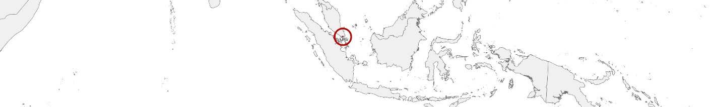
Singapore Purchasing Power, Socio-demographics & Area Boundaries

Your trusted Source of Geodata for Singapore for Postcode 6-digit, Planning Areas and Subzones
Discover a comprehensive suite of geodata for Singapore from our extensive global data offering of sociodemographic and purchasing power data. Elevate your geomarketing, target group analyses, and location studies with our detailed insights. MBI provides accurate area boundaries (vector boundaries, polygons) with detailed, seamless coverage of the following areas: Postcode 6-digit, Planning Areas and Subzones. Our data’s global consistency and comparability enable you to draw comparisons between Singapore and any other country worldwide. Additionally, political risk data allows you to develop targeted adaptation strategies to increase your location, logistics, and investment security.
Tailored for professionals in areas such as expansion planning, risk management, portfolio analysis, and statistical research, our data is accessible in all standard GIS formats and Excel. Licensed from MBI, this data ensures you have the robust information needed for strategic decision-making to drive your sales and business forward and maximize ROI.
Data that can currently be licensed from mbi for Singapore
Each attribute or geographical level can be licensed individually.
| Geographic level | |||
|---|---|---|---|
| Area level | Post Code / ZIP Code | Administrative | Micro |
| Name | Postcode 6-digit | Planning Areas | Subzones |
| Number of areas | 122240 | 55 | 332 |
| Geometry | |||
| Polygons | |||
| Data / Variables | |||
| Population | |||
| Age bands | |||
| Sex / Gender | |||
| Households | |||
| Unemployed | |||
| Purchasing power | |||
| Consumer Spending by Product Groups | |||
| Households by Income Quintiles | |||
| Education (country-specific) | |||
| Households by Type (country-specific) | |||
| Marital status (country-specific) | |||
| Consumer Styles | |||
| Daytime Population | |||
| Online-Shopping Affinity | |||
| Socio Bundle Plus | |||
| Get a quote | Get a quote | Get a quote | |
| Political Risk Data | ||||
|---|---|---|---|---|
| Regions | SUSAFE Basic | Calculated Trends | Conflict Insights | |
| Self-Explaining Political Risk Data | 5 | |||
| Get a quote | Get a quote | Get a quote | Get a quote | |
Geodata for Singapore: Driving Urban Excellence and Sustainability
Singapore, a sovereign city-state and island country in Southeast Asia, is renowned for its remarkable urban development, economic dynamism, and technological innovation. As a global financial hub with a high density of population and limited land area, Singapore faces unique challenges in urban planning, sustainability, and resource management. The strategic application of detailed geodata is central to Singapore’s efforts to maintain its status as a smart nation, ensuring efficient urban management, environmental sustainability, and enhanced quality of life for its residents. MBI’s geodata offerings for Singapore are meticulously designed to support these objectives, providing essential insights for geomarketing, GIS, expansion planning, spatial analysis, transportation planning, location intelligence analysis, and risk management.
Geographical Levels and Products
MBI’s geodata for Singapore is detailed across two critical levels, facilitating nuanced analysis and targeted planning for urban development and sustainability initiatives:
- Subzones: Offering a highly granular view, this level includes data on Population, Daytime Population, Socio Demographics, and Digital Boundaries. It’s particularly useful for localized planning, ensuring that initiatives are precisely aligned with the specific needs and characteristics of Singapore’s diverse communities.
- Planning Areas: This level provides insights into Singapore’s planning areas, featuring additional data on Purchasing Power, Consumer Spending by Product Groups, more Socio Demographics like Households by Type and Marital Status as well as Consumer Styles. It supports strategic urban planning and development, enabling precise targeting and operational efficiency across Singapore’s multifaceted urban landscape.
Country-Specific Insights
In Singapore, where maximizing land use efficiency, enhancing livability, and ensuring environmental protection are paramount, detailed geodata underpins strategic initiatives across sectors. Insights into planning area and subzone-level demographics, economic capabilities, and socio-economic characteristics inform targeted strategies for infrastructure, marketing and more, facilitating interventions that promote sustainable urban growth, enhance public services, and foster innovation. Additionally, digital boundary data is critical for planning and implementing smart city projects, green initiatives, and infrastructure developments that bolster connectivity and drive technological advancement.
Use Cases
- Sustainable Urban Development: Singapore stands to benefit from MBI’s geodata when implementing cutting-edge urban development projects focusing on green buildings, sustainable mobility, and digital services, enhancing residents’ quality of life and setting benchmarks for urban sustainability.
- Smart Nation Initiatives: Leveraging insights from population, socio-economic data, and digital boundaries, Singapore would advance its Smart Nation vision, deploying IoT solutions, smart mobility systems, and e-government services to improve operational efficiency, environmental sustainability, and citizen engagement.
Advantages of our administrative Boundaries
- Worldwide, seamless coverage of postal and administrative boundaries
- The layers are topographically correct and country borders fit seamlessly together without overlaps and gaps
- Data and areas can be easily combined in one layer thanks to a unique key, enabling cross-country analysis
- Constant updates guarantee a current data status
- The vintage compatibility between the MBI boundaries and the MBI Sociodemographic and Purchasing Power data is guaranteed
- Simple update by uniform layout of the layer names
- The higher-level area hierarchies are included with the boundary files
- Digital boundaries are in a vector format to allow visualization in any zoom levels
Smart Combination
The territorial vintages of the worldwide area boundaries are compatible with our globally consistent and comparable socio-economic data. We offer you a reliable basis for well-founded and data-based decisions. If desired, we can integrate the MBI data directly into our digital boundaries. So, you can load them directly into your system without any additional steps and use them immediately.
COUNTRY AVAILABILITY
Europe | North America | South America | Asia | Oceania | Africa
DATA FORMATS
Tab delimited file (TXT) | KML | Access database (MDB) | Excel (xls) | Esri Shapefile (.shp) | Esri Geodatabase (.gdb) | MapInfo (.tab, .tabx) | MapInfo MIF/MID | GeoJSON | GeoParquet (.parquet) | GeoPackage (.gpkg) | more on request
> LEARN MORE
TELL US WHERE YOU ARE HEADING.
WE WILL GLADLY ASSIST YOU IN SELECTING THE DATA NEEDED TO REACH YOUR GOAL.
Didn’t find what you are looking for or have another question? Please do not hesitate to contact us!
Our experts will be happy to advise you individually and without obligation on which data you can use to create added value for your company and realize savings.
Would you like to evaluate and visualize the data?