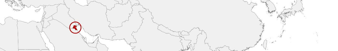
Kuwait Purchasing Power, Socio-demographics & Area Boundaries

Your trusted Source of Geodata for Kuwait for Postcode 2-digit, Manāṭiq, Muḥāfaẓāt and Blocks
Discover a comprehensive suite of geodata for Kuwait from our extensive global data offering of sociodemographic and purchasing power data. Elevate your geomarketing, target group analyses, and location studies with our detailed insights. MBI provides accurate area boundaries (vector boundaries, polygons) with detailed, seamless coverage of the following areas: Postcode 2-digit, Manāṭiq, Muḥāfaẓāt and Blocks. Our data’s global consistency and comparability enable you to draw comparisons between Kuwait and any other country worldwide. Additionally, political risk data allows you to develop targeted adaptation strategies to increase your location, logistics, and investment security.
Tailored for professionals in areas such as expansion planning, risk management, portfolio analysis, and statistical research, our data is accessible in all standard GIS formats and Excel. Licensed from MBI, this data ensures you have the robust information needed for strategic decision-making to drive your sales and business forward and maximize ROI.
Data that can currently be licensed from mbi for Kuwait
Each attribute or geographical level can be licensed individually.
| Geographic level | |||
|---|---|---|---|
| Area level | Administrative | Administrative | Grid |
| Name | Manāṭiq | Muḥāfaẓāt | 100 x 100 m |
| Number of areas | 139 | 6 | |
| Geometry | |||
| Polygons | |||
| Data / Variables | |||
| Population | |||
| Age bands | |||
| Sex / Gender | |||
| Households | |||
| Unemployed | |||
| Purchasing power | |||
| Education (country-specific) | |||
| Marital status (country-specific) | |||
| Consumer Styles | |||
| Daytime Population | |||
| Online-Shopping Affinity | |||
| Socio Bundle Plus | |||
| Political Risk | |||
| Get a quote | Get a quote | Get a quote | |
| Political Risk Data | ||||
|---|---|---|---|---|
| Regions | SUSAFE Basic | Calculated Trends | Conflict Insights | |
| Self-Explaining Political Risk Data | 6 | |||
| Get a quote | Get a quote | Get a quote | Get a quote | |
Geodata for Kuwait: Navigating Urban and Economic Development
Kuwait, with its strategic Gulf location, substantial oil reserves, and modern urban landscape, is at the forefront of economic development, international trade, and infrastructure expansion in the Middle East. The country’s vision for a future beyond oil relies on strategic investments in infrastructure, technology, and human capital, necessitating precise and comprehensive geodata. MBI’s offerings for Kuwait are designed to support these transformative initiatives, providing essential insights for geomarketing, GIS, expansion planning, spatial analysis, transportation planning, location intelligence analysis, and risk management.
Geographical Levels and Products
MBI’s geodata for Kuwait is detailed at two key levels:
- Muḥāfaẓāt (Governorates) : This level covers Kuwait’s governorates, offering insights into broader regional trends and planning needs with products including Population, Daytime Population, Purchasing Power, Socio Demographics, and Digital Boundaries. These data points are crucial for understanding regional dynamics, economic capabilities, and consumer behavior, supporting targeted policy making and strategic development.
Localities: Providing a closer look at Kuwait’s urban and rural localities, this level is particularly valuable for localized urban planning and infrastructure projects.
Why Use Geodata from MBI for Kuwait
In Kuwait, where urban development and economic diversification are key government objectives, companies from around the globe stand to benefit from MBI’s detailed geodata when making investment decisions. Insights into governorate-level economic trends and local demographic patterns inform initiatives in sectors like retail and real estate, facilitating efficient resource allocation and market targeting. Additionally, digital boundary data supports the planning and execution of infrastructure projects and urban development initiatives, enhancing the livability and competitiveness of Kuwait’s cities.
Advantages of our administrative Boundaries
- Worldwide, seamless coverage of postal and administrative boundaries
- The layers are topographically correct and country borders fit seamlessly together without overlaps and gaps
- Data and areas can be easily combined in one layer thanks to a unique key, enabling cross-country analysis
- Constant updates guarantee a current data status
- The vintage compatibility between the MBI boundaries and the MBI Sociodemographic and Purchasing Power data is guaranteed
- Simple update by uniform layout of the layer names
- The higher-level area hierarchies are included with the boundary files
- Digital boundaries are in a vector format to allow visualization in any zoom levels
Smart Combination
The territorial vintages of the worldwide area boundaries are compatible with our globally consistent and comparable socio-economic data. We offer you a reliable basis for well-founded and data-based decisions. If desired, we can integrate the MBI data directly into our digital boundaries. So, you can load them directly into your system without any additional steps and use them immediately.
COUNTRY AVAILABILITY
Europe | North America | South America | Asia | Oceania | Africa
DATA FORMATS
Tab delimited file (TXT) | KML | Access database (MDB) | Excel (xls) | Esri Shapefile (.shp) | Esri Geodatabase (.gdb) | MapInfo (.tab, .tabx) | MapInfo MIF/MID | GeoJSON | GeoParquet (.parquet) | GeoPackage (.gpkg) | more on request
> LEARN MORE
TELL US WHERE YOU ARE HEADING.
WE WILL GLADLY ASSIST YOU IN SELECTING THE DATA NEEDED TO REACH YOUR GOAL.
Didn’t find what you are looking for or have another question? Please do not hesitate to contact us!
Our experts will be happy to advise you individually and without obligation on which data you can use to create added value for your company and realize savings.
Would you like to evaluate and visualize the data?