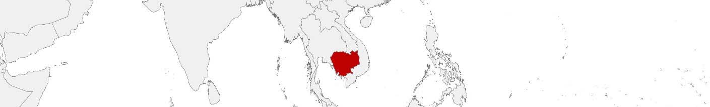
Cambodia Purchasing Power, Socio-demographics & Area Boundaries

Your trusted Source of Geodata for Cambodia for Postcode 6-digit, Khaet, Srok and Khum
Discover a comprehensive suite of geodata for Cambodia from our extensive global data offering of sociodemographic and purchasing power data. Elevate your geomarketing, target group analyses, and location studies with our detailed insights. MBI provides accurate area boundaries (vector boundaries, polygons) with detailed, seamless coverage of the following areas: Postcode 6-digit, Khaet, Srok and Khum. Our data’s global consistency and comparability enable you to draw comparisons between Cambodia and any other country worldwide. Additionally, political risk data allows you to develop targeted adaptation strategies to increase your location, logistics, and investment security.
Tailored for professionals in areas such as expansion planning, risk management, portfolio analysis, and statistical research, our data is accessible in all standard GIS formats and Excel. Licensed from MBI, this data ensures you have the robust information needed for strategic decision-making to drive your sales and business forward and maximize ROI.
Data that can currently be licensed from mbi for Cambodia
Each attribute or geographical level can be licensed individually.
| Geographic level | ||
|---|---|---|
| Area level | Administrative | Grid |
| Name | Khaet | 100 x 100 m |
| Number of areas | 25 | |
| Geometry | ||
| Polygons | ||
| Data / Variables | ||
| Population | ||
| Age bands | ||
| Sex / Gender | ||
| Households | ||
| Unemployed | ||
| Purchasing power | ||
| Socio Bundle Plus | ||
| Political Risk | ||
| Get a quote | Get a quote | |
| Additional Political Risk Data by Regions | ||||
|---|---|---|---|---|
| Regions | SUSAFE Basic | Calculated Trends | Conflict Insights | |
| Self-Explaining Political Risk Data | 26 | |||
| Get a quote | Get a quote | Get a quote | Get a quote | |
Cambodia’s Geodata Insights: Paving the Way for Inclusive Development and Heritage Preservation
Cambodia, with its rich history, cultural heritage, and significant natural resources, stands at a pivotal point in its development trajectory. The country’s efforts to balance economic growth with cultural and natural preservation are supported by the strategic use of geodata. MBI’s offerings for Cambodia’s provinces (Khaet) equip decision-makers with valuable insights for planning, site evaluation and resource allocation.
Geographical Levels and Products
In Cambodia, MBI’s geodata provides Khaet (Provinces): Detailed area boundaries, demographic and socio-economic data across provinces, facilitating the development of targeted strategies for economic empowerment, infrastructure development, and environmental management.
Country-Specific Insights
Cambodia’s development challenges, include rural poverty and urbanization pressures. Foreign companies, for example, those in the textile industry, are frequently drawn to Cambodia as a relocation destination for their production or supply chains due to the country’s economic advantages. Both, Cambodia and companies worldwide can benefit from a data-driven approach. Geodata plays a critical role in planning supply chains, optimizing agricultural productivity, and protecting the country’s invaluable cultural sites and natural landscapes.
Use Case
A fashion brand from the USA could utilize geodata from MBI to identify potential production locations. By analyzing unemployment rates, purchasing power, and other socio-demographic factors, the company can identify locations with a high availability of seamstresses. The brand can leverage political risk data to assess the likelihood of unrest and violence in the desired location in the future.
Why Use Geodata from MBI for Cambodia
By providing a detailed view of the socio-demographic, economic, and spatial dynamics at the provincial level, MBI’s geodata enables stakeholders to undertake informed planning and decision-making, ensuring a prosperous future for Cambodia and the businesses operating there.
Advantages of our administrative Boundaries
- Worldwide, seamless coverage of postal and administrative boundaries
- The layers are topographically correct and country borders fit seamlessly together without overlaps and gaps
- Data and areas can be easily combined in one layer thanks to a unique key, enabling cross-country analysis
- Constant updates guarantee a current data status
- The vintage compatibility between the MBI boundaries and the MBI Sociodemographic and Purchasing Power data is guaranteed
- Simple update by uniform layout of the layer names
- The higher-level area hierarchies are included with the boundary files
- Digital boundaries are in a vector format to allow visualization in any zoom levels
Smart Combination
The territorial vintages of the worldwide area boundaries are compatible with our globally consistent and comparable socio-economic data. We offer you a reliable basis for well-founded and data-based decisions. If desired, we can integrate the MBI data directly into our digital boundaries. So, you can load them directly into your system without any additional steps and use them immediately.
COUNTRY AVAILABILITY
Europe | North America | South America | Asia | Oceania | Africa
DATA FORMATS
Tab delimited file (TXT) | KML | Access database (MDB) | Excel (xls) | Esri Shapefile (.shp) | Esri Geodatabase (.gdb) | MapInfo (.tab, .tabx) | MapInfo MIF/MID | GeoJSON | GeoParquet (.parquet) | GeoPackage (.gpkg) | more on request
> LEARN MORE
TELL US WHERE YOU ARE HEADING.
WE WILL GLADLY ASSIST YOU IN SELECTING THE DATA NEEDED TO REACH YOUR GOAL.
Didn’t find what you are looking for or have another question? Please do not hesitate to contact us!
Our experts will be happy to advise you individually and without obligation on which data you can use to create added value for your company and realize savings.
Would you like to evaluate and visualize the data?