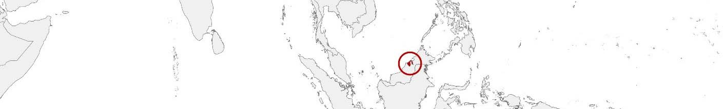
Brunei Darussalam Purchasing Power, Socio-demographics & Area Boundaries

Your trusted Source of Geodata for Brunei Darussalam for Postcode 2-digit, Daerah and Mukim
Discover a comprehensive suite of geodata for Brunei Darussalam from our extensive global data offering of sociodemographic and purchasing power data. Elevate your geomarketing, target group analyses, and location studies with our detailed insights. MBI provides accurate area boundaries (vector boundaries, polygons) with detailed, seamless coverage of the following areas: Postcode 2-digit, Daerah and Mukim. Our data’s global consistency and comparability enable you to draw comparisons between Brunei Darussalam and any other country worldwide. Additionally, political risk data allows you to develop targeted adaptation strategies to increase your location, logistics, and investment security.
Tailored for professionals in areas such as expansion planning, risk management, portfolio analysis, and statistical research, our data is accessible in all standard GIS formats and Excel. Licensed from MBI, this data ensures you have the robust information needed for strategic decision-making to drive your sales and business forward and maximize ROI.
Data that can currently be licensed from mbi for Brunei Darussalam
Each attribute or geographical level can be licensed individually.
| Geographic level | |||
|---|---|---|---|
| Area level | Administrative | Administrative | Grid |
| Name | Daerah | Mukim | 100 x 100 m |
| Number of areas | 4 | 39 | |
| Geometry | |||
| Polygons | |||
| Data / Variables | |||
| Population | |||
| Age bands | |||
| Sex / Gender | |||
| Households | |||
| Unemployed | |||
| Purchasing power | |||
| Marital status (country-specific) | |||
| Daytime Population | |||
| Political Risk | |||
| Get a quote | Get a quote | Get a quote | |
| Political Risk Data | ||||
|---|---|---|---|---|
| Regions | SUSAFE Basic | Calculated Trends | Conflict Insights | |
| Self-Explaining Political Risk Data | 4 | |||
| Get a quote | Get a quote | Get a quote | Get a quote | |
Brunei Darussalam’s Geodata Insights: Nurturing Development with Precision
Brunei Darussalam, a small but affluent nation in Southeast Asia, is known for its vast natural resources, particularly oil and gas, and its high standard of living. As the country continues to modernize and diversify its economy, the strategic use of geospatial data becomes increasingly important for both governmental planning and business operations. MBI’s offerings for Brunei’s Daerah and Mukim provide vital insights that enable professionals across various sectors to undertake strategic planning, informed decision-making, and efficient resource management.
Geographical Levels and Products
MBI’s geodata for Brunei Darussalam includes:
- Mukim: For example, on this granular level Nighttime & Daytime Population help identify where people live and work, supporting local planning and service delivery at a more granular level. Understanding the age distribution and gender demographics at the sub-district level is crucial for designing effective community services, marketing campaigns, and public health initiatives.
- Daerah: This level contains additional data about Unemployed for personnel planning.
Country-Specific Insights
Brunei’s economy is largely driven by its oil and gas sector, but the country is actively pursuing diversification strategies to reduce its dependence on natural resources. MBI’s geodata offerings are particularly valuable in this context, providing the detailed insights needed to identify new growth opportunities and optimize resource allocation.
Use Case
For example, Purchasing Power data is essential for businesses looking to expand into retail, real estate, or financial services in Brunei. By understanding which districts and sub-districts have higher disposable income levels, companies can make informed decisions about where to locate new stores, residential developments, or service centers.
Moreover, the Nighttime Population data is critical for urban planners and developers, particularly in Bandar Seri Begawan, the capital city, which is experiencing steady growth. This data helps ensure that infrastructure projects are designed to meet the current and future needs of the population.
Why Use Geodata from MBI for Brunei
MBI’s geodata offerings for Brunei stand out due to their accuracy and relevance to the country’s specific needs. The inclusion of Digital Boundaries alongside demographic and economic data provides a comprehensive toolkit for both businesses and government agencies. This combination is particularly useful in Brunei, where accurate and up-to-date information is crucial for navigating the challenges of urbanization and economic diversification.
Advantages of our administrative Boundaries
- Worldwide, seamless coverage of postal and administrative boundaries
- The layers are topographically correct and country borders fit seamlessly together without overlaps and gaps
- Data and areas can be easily combined in one layer thanks to a unique key, enabling cross-country analysis
- Constant updates guarantee a current data status
- The vintage compatibility between the MBI boundaries and the MBI Sociodemographic and Purchasing Power data is guaranteed
- Simple update by uniform layout of the layer names
- The higher-level area hierarchies are included with the boundary files
- Digital boundaries are in a vector format to allow visualization in any zoom levels
Smart Combination
The territorial vintages of the worldwide area boundaries are compatible with our globally consistent and comparable socio-economic data. We offer you a reliable basis for well-founded and data-based decisions. If desired, we can integrate the MBI data directly into our digital boundaries. So, you can load them directly into your system without any additional steps and use them immediately.
COUNTRY AVAILABILITY
Europe | North America | South America | Asia | Oceania | Africa
DATA FORMATS
Tab delimited file (TXT) | KML | Access database (MDB) | Excel (xls) | Esri Shapefile (.shp) | Esri Geodatabase (.gdb) | MapInfo (.tab, .tabx) | MapInfo MIF/MID | GeoJSON | GeoParquet (.parquet) | GeoPackage (.gpkg) | more on request
> LEARN MORE
TELL US WHERE YOU ARE HEADING.
WE WILL GLADLY ASSIST YOU IN SELECTING THE DATA NEEDED TO REACH YOUR GOAL.
Didn’t find what you are looking for or have another question? Please do not hesitate to contact us!
Our experts will be happy to advise you individually and without obligation on which data you can use to create added value for your company and realize savings.
Would you like to evaluate and visualize the data?