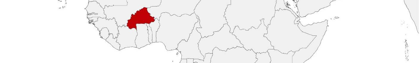
Burkina Faso Purchasing Power, Socio-demographics & Area Boundaries

Your trusted Source of Geodata for Burkina Faso for Postcode 5-digit, Communes and Provinces
Discover a comprehensive suite of geodata for Burkina Faso from our extensive global data offering of sociodemographic and purchasing power data. Elevate your geomarketing, target group analyses, and location studies with our detailed insights. MBI provides accurate area boundaries (vector boundaries, polygons) with detailed, seamless coverage of the following areas: Postcode 5-digit, Communes and Provinces. Our data’s global consistency and comparability enable you to draw comparisons between Burkina Faso and any other country worldwide. Additionally, political risk data allows you to develop targeted adaptation strategies to increase your location, logistics, and investment security.
Tailored for professionals in areas such as expansion planning, risk management, portfolio analysis, and statistical research, our data is accessible in all standard GIS formats and Excel. Licensed from MBI, this data ensures you have the robust information needed for strategic decision-making to drive your sales and business forward and maximize ROI.
Data that can currently be licensed from mbi for Burkina Faso
Each attribute or geographical level can be licensed individually.
| Geographic level | |||
|---|---|---|---|
| Area level | Post Code / ZIP Code | Administrative | Administrative |
| Name | Postcode 5-digit | Communes | Provinces |
| Number of areas | 359 | 351 | 45 |
| Geometry | |||
| Polygons | |||
| Data / Variables | |||
| Population | |||
| Age bands | |||
| Sex / Gender | |||
| Households | |||
| Unemployed | |||
| Get a quote | Get a quote | Get a quote | |
| Political Risk Data | ||||
|---|---|---|---|---|
| Regions | SUSAFE Basic | Calculated Trends | Conflict Insights | |
| Self-Explaining Political Risk Data | 13 | |||
| Get a quote | Get a quote | Get a quote | Get a quote | |
Burkina Faso’s Geodata Insights: Steering Development through Data-Driven Decisions
Burkina Faso, situated in the heart of West Africa, faces numerous development challenges, from enhancing food security and healthcare access to managing natural resources and mitigating the impacts of climate change. The strategic use of geodata, particularly at the provincial level, can be very useful in addressing these challenges efficiently and effectively. MBI’s geodata offerings for Burkina Faso’s provinces equip stakeholders across various sectors with the insights needed to undertake informed planning, policy formulation, and resource allocation.
Country-Specific Insights
With a focus on sustainable development, economic diversification, and resilience building, Burkina Faso can leverage geodata to prioritize and streamline development efforts. This approach ensures that interventions are tailored to the specific needs of its provinces, enhancing the impact of government and NGO initiatives on the ground.
Use Case
MBI’s precise vector boundaries can be used for various environmental and climate projects. Weather data can be displayed on the map to track climate changes over time and to identify conspicuous developments early on. Combined with MBI’s Population Data, areas of particular risk to a high concentration of residents are immediately apparent.
Why Use Geodata from MBI for Burkina Faso
The geodata offerings for Burkina Faso are instrumental in guiding the country’s development trajectory, offering a reliable foundation for strategic decision-making and effective governance. By harnessing detailed insights at the provincial level, stakeholders can better address the diverse needs of the population, fostering sustainable development and enhancing the well-being of communities across Burkina Faso.
Advantages of our administrative Boundaries
- Worldwide, seamless coverage of postal and administrative boundaries
- The layers are topographically correct and country borders fit seamlessly together without overlaps and gaps
- Data and areas can be easily combined in one layer thanks to a unique key, enabling cross-country analysis
- Constant updates guarantee a current data status
- The vintage compatibility between the MBI boundaries and the MBI Sociodemographic and Purchasing Power data is guaranteed
- Simple update by uniform layout of the layer names
- The higher-level area hierarchies are included with the boundary files
- Digital boundaries are in a vector format to allow visualization in any zoom levels
Smart Combination
The territorial vintages of the worldwide area boundaries are compatible with our globally consistent and comparable socio-economic data. We offer you a reliable basis for well-founded and data-based decisions. If desired, we can integrate the MBI data directly into our digital boundaries. So, you can load them directly into your system without any additional steps and use them immediately.
COUNTRY AVAILABILITY
Europe | North America | South America | Asia | Oceania | Africa
DATA FORMATS
Tab delimited file (TXT) | KML | Access database (MDB) | Excel (xls) | Esri Shapefile (.shp) | Esri Geodatabase (.gdb) | MapInfo (.tab, .tabx) | MapInfo MIF/MID | GeoJSON | GeoParquet (.parquet) | GeoPackage (.gpkg) | more on request
> LEARN MORE
TELL US WHERE YOU ARE HEADING.
WE WILL GLADLY ASSIST YOU IN SELECTING THE DATA NEEDED TO REACH YOUR GOAL.
Didn’t find what you are looking for or have another question? Please do not hesitate to contact us!
Our experts will be happy to advise you individually and without obligation on which data you can use to create added value for your company and realize savings.
Would you like to evaluate and visualize the data?