News
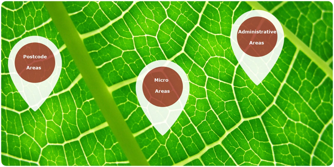
Area Boundaries 2017 – postal, admin, micro
02/24/2017
Updated: Area Boundaries Worldwide 2017 – Seamless postal and admin Vector Maps
Michael Bauer International GmbH has released the world wide data set 2017 of the Digital Boundaries which have been completely updated. For a steadily growing number of countries worldwide, MB-International offers additionally to the postal and administrative maps also boundaries on micro area level.
The worldwide layers provide a globally consistent and comparable data base in many different aspects of business applications such as sales territory planning, service planning & analysis, customer visualization, thematic mapping, Social Media Marketing, Postcode look-up tables and Geocoding.
We will be happy to inform you about the geographical levels of single countries and would like to advise you on choosing the most suitable data for your individual application.
24.02.2017